
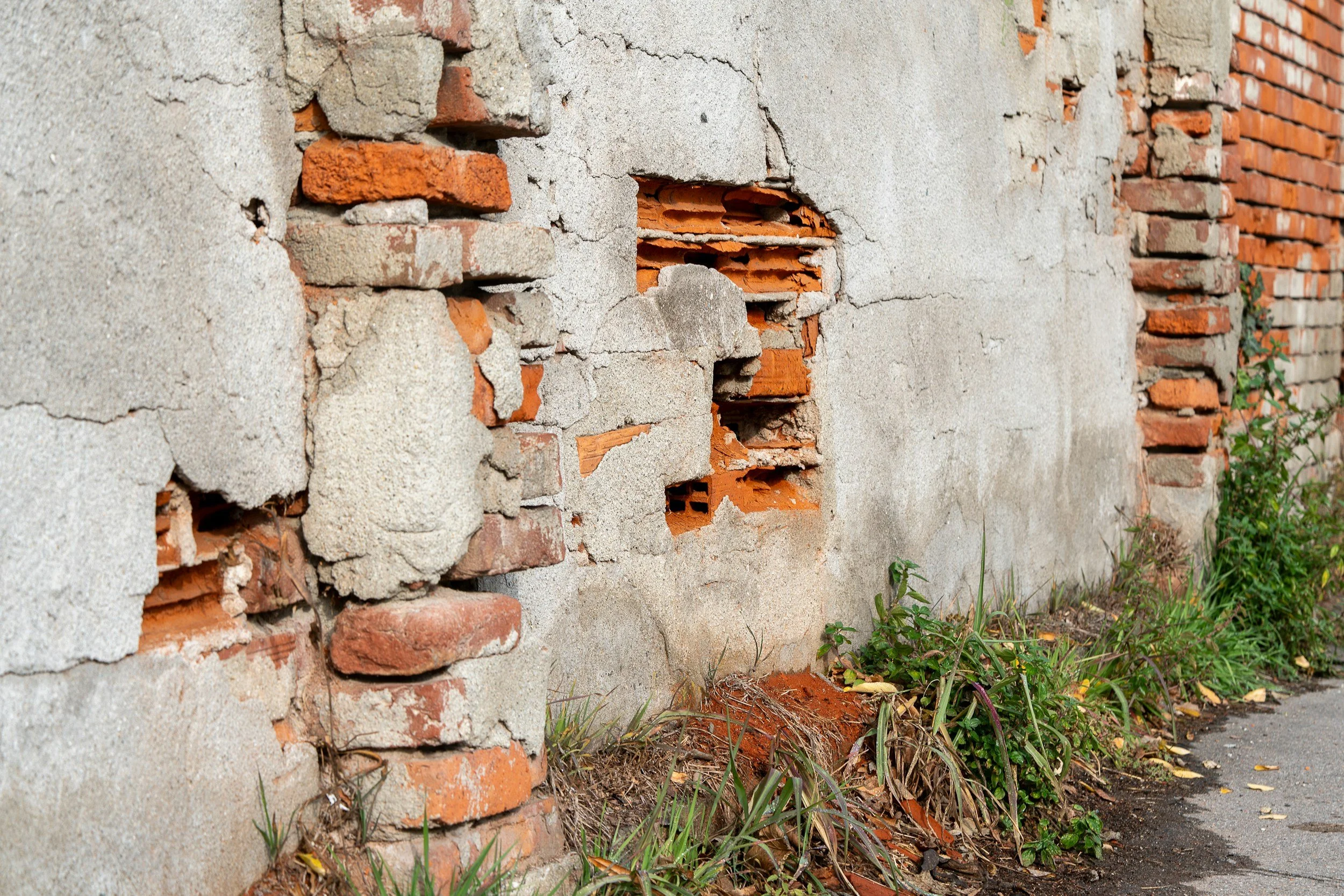
Cracks noticed after construction begins may have developed against a background of settlement that started years earlier. A credible investigation needs a timeline, not an assumption that nearby works caused every change. Where archives and suitable measurement points exist, InSAR can show how buildings and surrounding ground moved before, during and after the period in question.
A timeline is more valuable than a single map
Disputes about cracking or settlement often hinge on when movement started. Archived satellite observations can show whether measured surfaces were already moving before excavation, piling or dewatering began, and whether a trend changed during a particular construction phase. InSAR is also very useful for testing whether the wider neighborhood shows a similar trend.
Damage to a specific building can involve mechanisms the satellite cannot see, so InSAR provides strong evidence about movement and timing that specialists then combine with other evidence.
Protect the chain of evidence
Record the source imagery, processing approach, reference period, areas with weak coherence and dates when the site changed. Compare the movement series with construction diaries, groundwater measurements, condition surveys and independent leveling.
Use the longest reliable history relevant to the question rather than a period that suits one side. If a building was renovated or its roof replaced, the radar target may not be stable across the whole period, and that should be noted.
Define what the evidence can establish
A careful report separates the observed displacement, the timing of any change and possible explanations that need further investigation. It states where attribution is uncertain and whether movement was measured on the structure itself or on nearby ground.
This helps experts agree on where additional surveys or geotechnical analysis would be useful and can narrow the disputed facts. Legal conclusions and structural causation remain with the relevant specialists. SkyGeo's research on the reliability of InSAR monitoring of buildings near Amsterdam's quay walls shows how carefully validated satellite data can support this kind of assessment. See also our guide to establishing a pre-construction baseline.
Frequently asked questions
-
Historical settlement trends for buildings and surrounding ground, including whether movement began before the works started.
-
Pre-construction condition surveys, construction logs, groundwater records and crack monitoring.
-
Not on its own. It is important evidence about timing, which specialists assess together with the other records.
-
The full available archive across the period in dispute, with any acquisition gaps clearly noted.
-
List the properties and dates of interest, and ask for an archive feasibility review first.
