
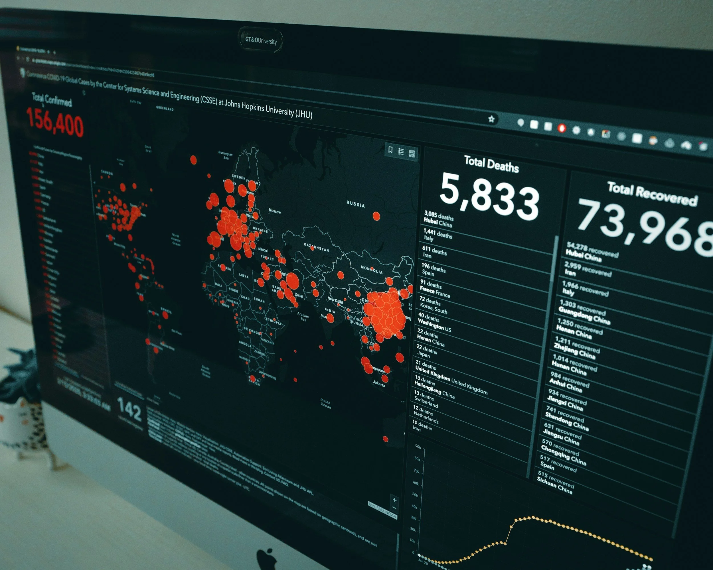
Integrating InSAR into GIS and asset management systems
A practical guide to linking InSAR time series, uncertainty and asset IDs to GIS, inspection and maintenance workflows without losing traceability.

Can InSAR help prevent asset failures? A practical guide to risk reduction
InSAR helps organizations spot ground movement early and prioritize investigation. Learn how to turn satellite movement data into real risk reduction.
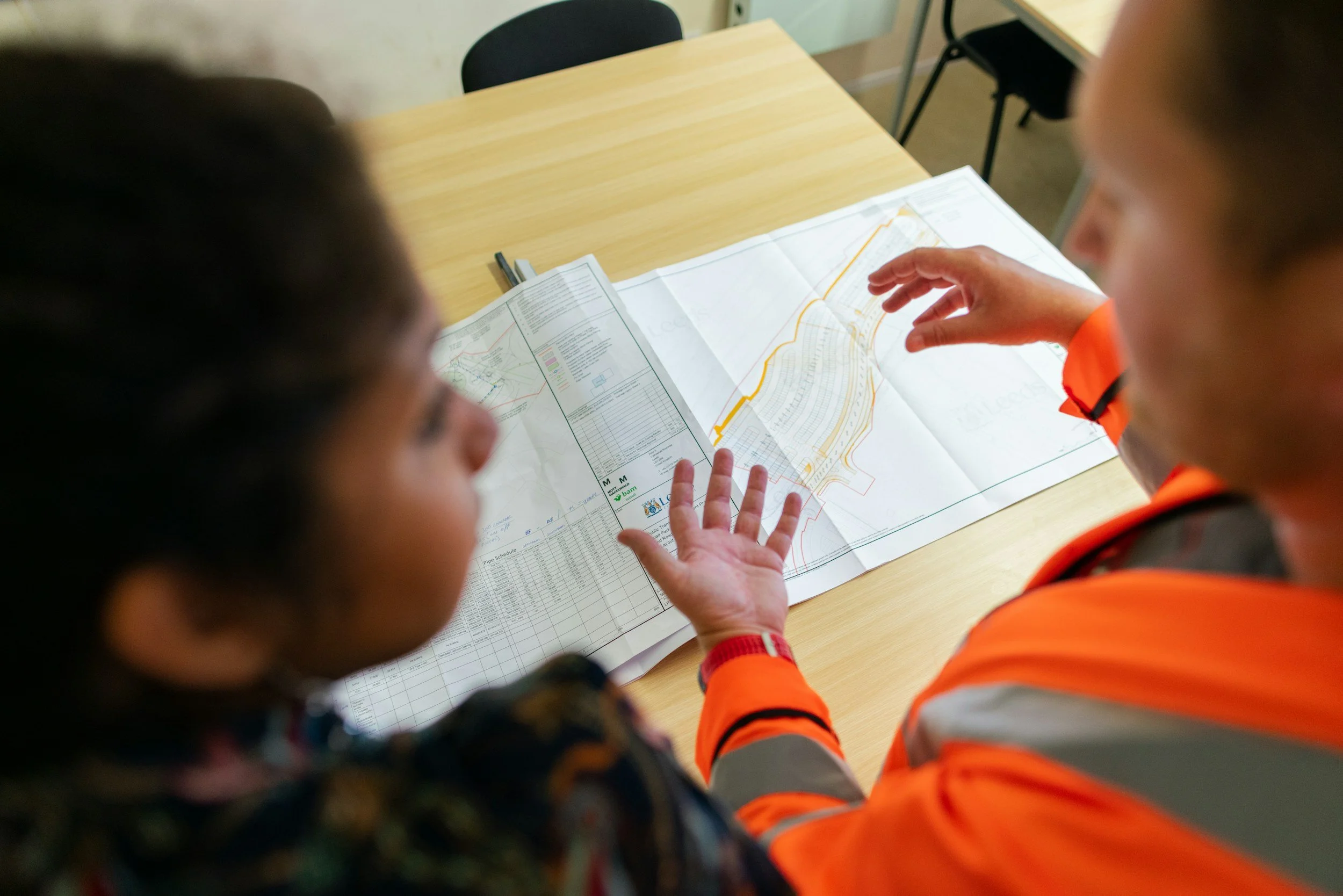
Why engineers and asset managers should understand InSAR
InSAR gives engineers and asset managers spatial and historical movement evidence for design, maintenance and investigation decisions. Here is how to use it.