
How can water utilities identify ground movement risks across buried pipe networks?
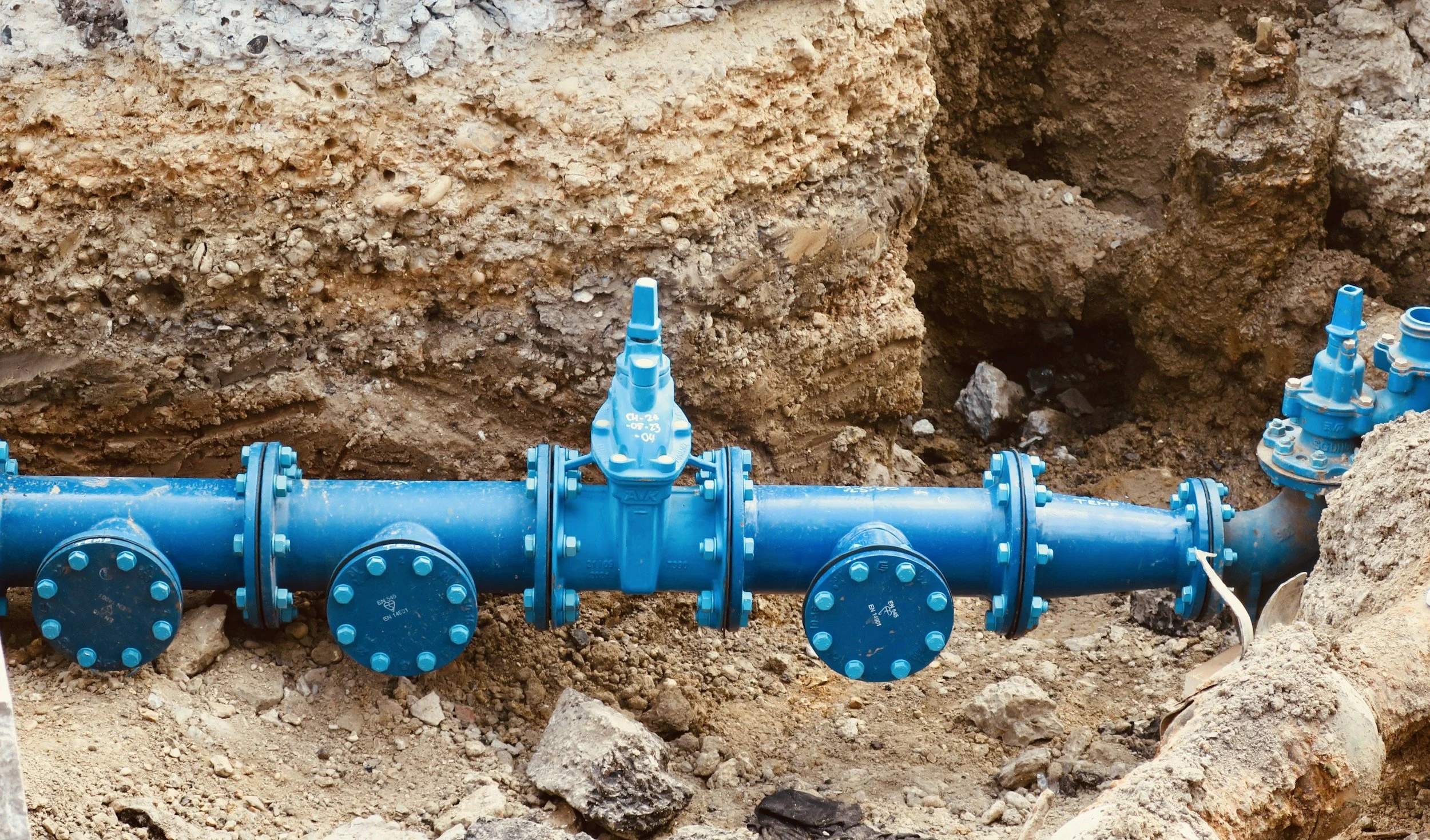
InSAR maps settlement around buried water mains so utilities can see where ground movement coincides with breaks, repairs and vulnerable pipes.
InSAR maps settlement around buried water mains so utilities can see where ground movement coincides with breaks, repairs and vulnerable pipes.