
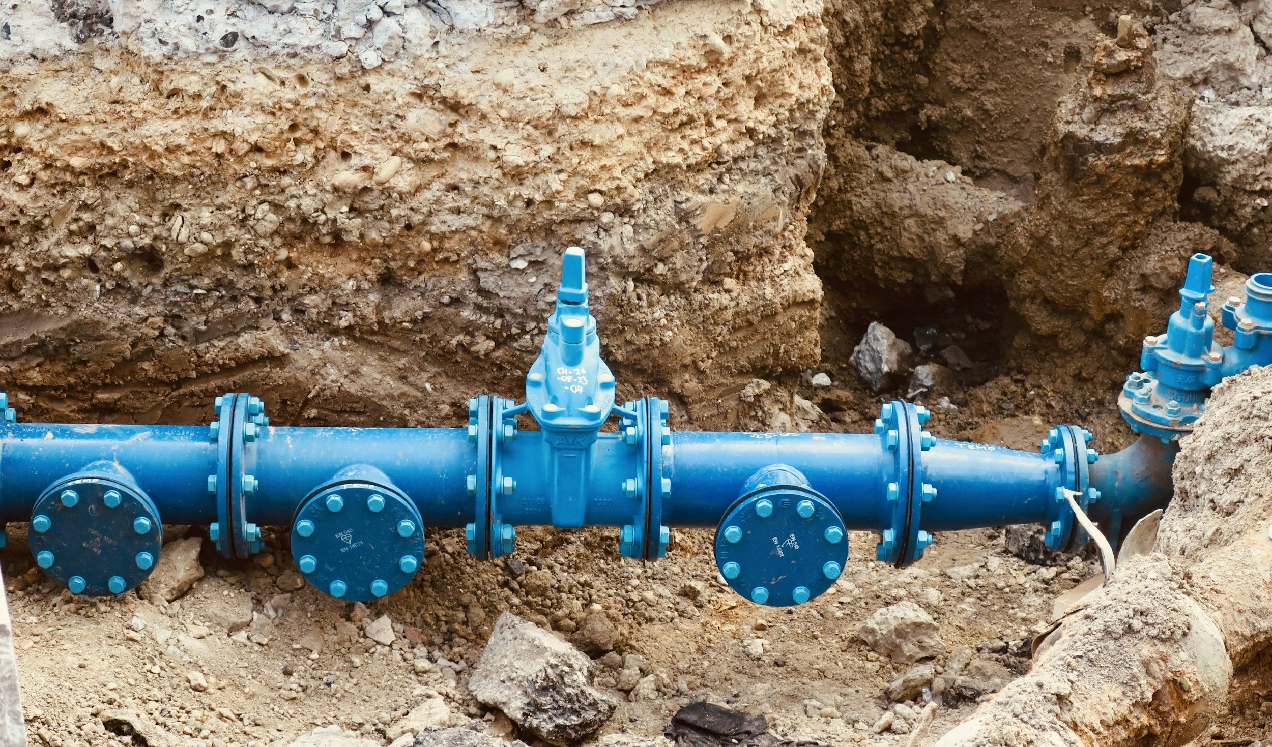
Water networks cross soils that settle, shrink, swell or move with groundwater changes. Pipe age and material matter, and so does differential movement in the surrounding ground. InSAR screens neighborhood-scale settlement and uplift across an entire service area, helping utilities see whether clusters of breaks, repairs or leaks coincide with changing ground conditions.
Reading movement above buried pipes
Satellite radar observes surfaces above and around the network, such as roads, sidewalks and buildings. A pipe may stay sound while the street moves, or fail for reasons unrelated to ground movement, so the real opportunity is to find places where settlement or differential movement coincides with vulnerable materials, known failures, old joints or repeated repairs. That combination is a strong reason to look more closely.
Build a risk-led network overlay
Start with mapped pipe alignments, age, material, diameter, depth, installation method and repair history. Add movement histories from nearby reliable targets, noting whether each measurement sits on a road, a building or bare ground. Look at movement gradients across sections of the network, not just absolute subsidence rates.
Compare anomalies with leak reports, soil and groundwater maps and recent excavations. Where the data shows a sustained trend near a high-consequence main, the utility may schedule a targeted inspection or survey. Areas with few radar targets are flagged as coverage gaps rather than assumed to be stable.
Use findings to guide maintenance planning
The output is a list of pipe sections for engineering review, ranked by service criticality, available alternatives, incident history and how plausibly ground movement could affect each one. When an inspection finds an unrelated cause, record that outcome to sharpen future screening. Over time, that feedback makes wide-area monitoring an increasingly valuable addition to leak detection and integrity systems. The Stedin case study shows how this approach helped a utility prioritize work on its network, and you can learn more about InSAR for civil engineering and infrastructure.
Frequently asked questions
-
Ground settlement and uplift around buried mains and service corridors, and where it has changed over time.
-
Pipe failure records, age, material, groundwater and soil maps.
-
Not directly. It shows where the ground is moving, which helps target leak detection and pipe condition surveys.
-
Around planning cycles, and after major changes in ground conditions such as large nearby works.
-
In a district with repeated breaks, comparing its ground movement history with its repair records.
