
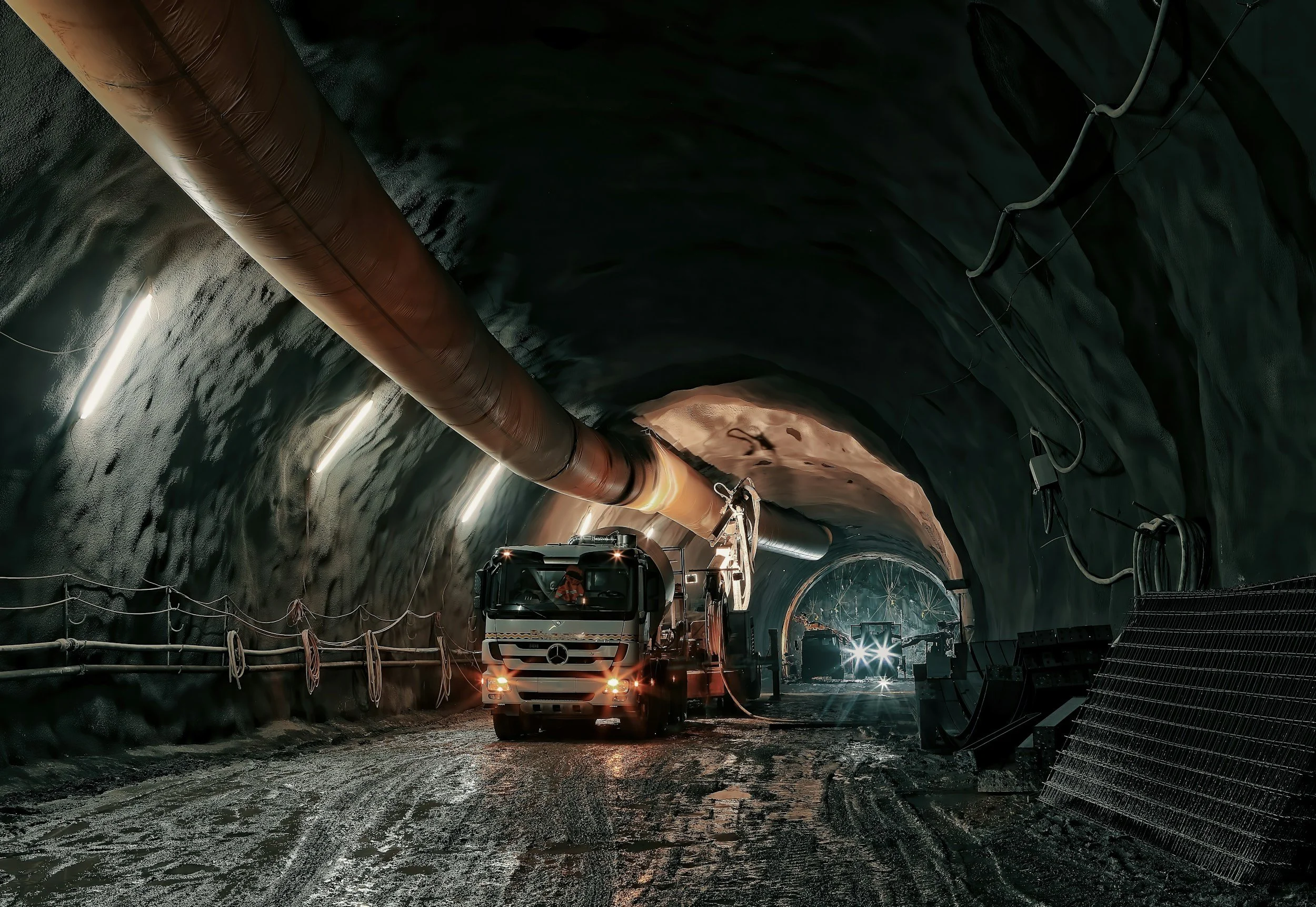
Why satellite settlement data is easy to misinterpret during tunneling and construction
Common mistakes when using InSAR settlement data on tunneling and construction projects, from late baselines to roof points and alarm expectations.

Highway and bridge settlement: where satellite InSAR adds value
How road agencies use satellite InSAR to assess settlement at highways, embankments, interchanges and bridge approaches, and how to triage maintenance.

Monitoring railroad settlement across corridors with satellite InSAR
How rail asset owners use satellite InSAR to screen long corridors for settlement near earthworks, stations and bridge approaches, and what it cannot measure.
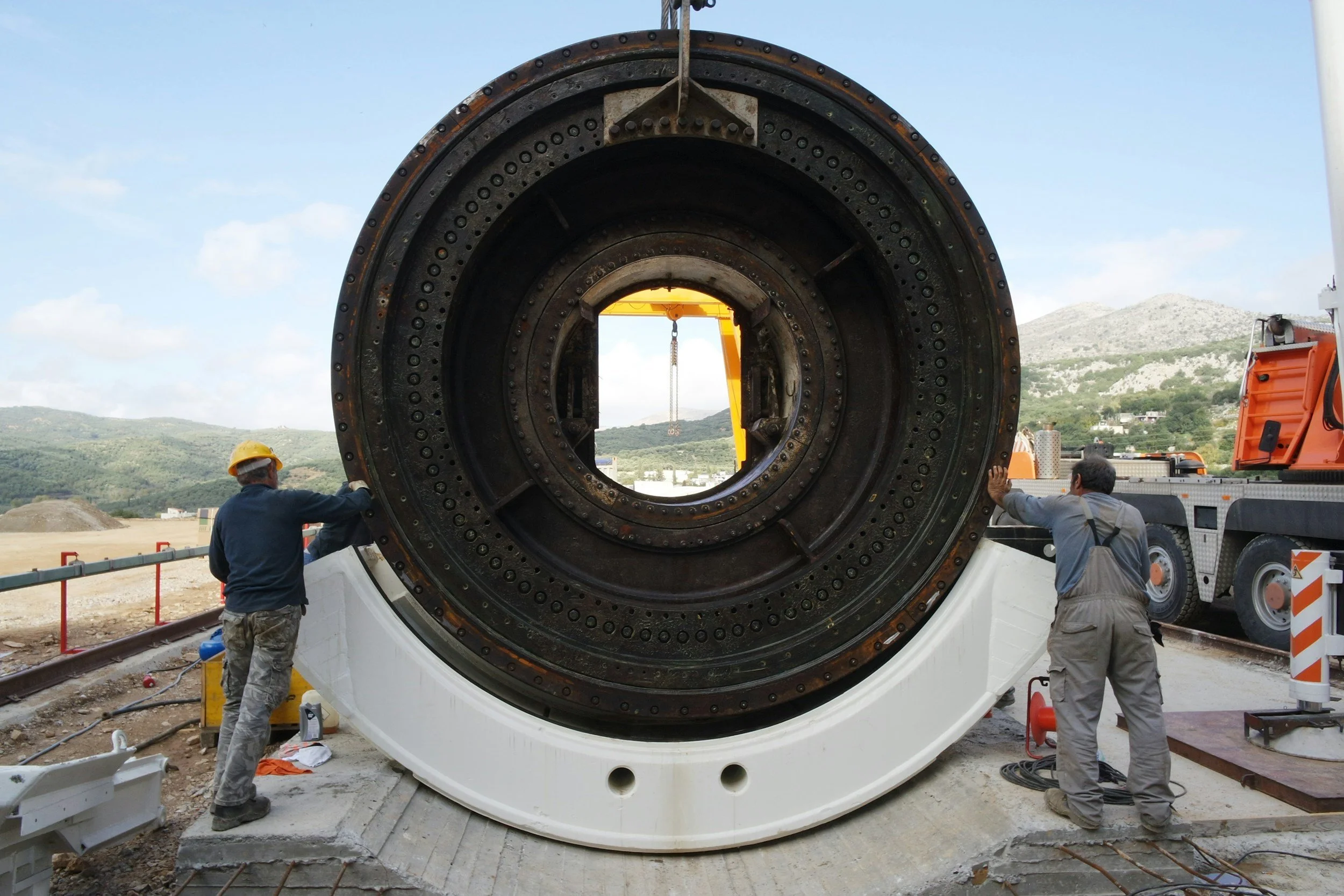
How InSAR complements tunnel and construction settlement monitoring
Historical and ongoing InSAR settlement data adds a wide-area view to prisms, leveling and GNSS on tunneling and major construction projects.