
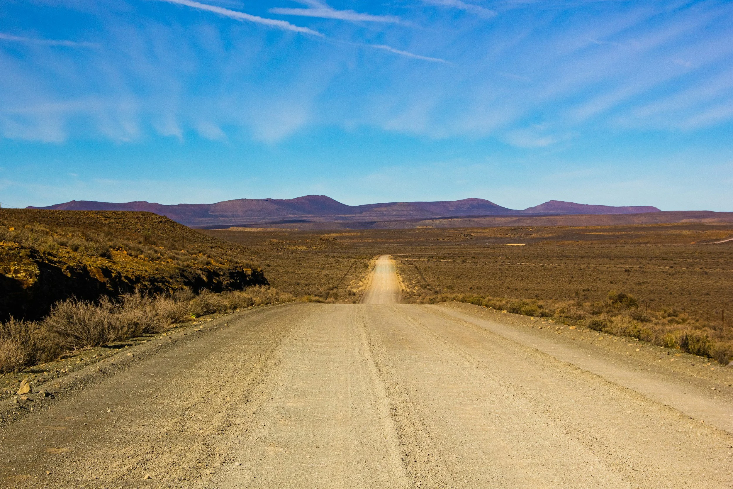
Waste rock dumps and haul roads are part of a mine's operating system. Settlement can affect drainage, road condition, safe access and how land can be used after closure. InSAR provides repeated measurements of these large, changing areas, which would be expensive to survey in detail on a regular basis.
Monitor the supporting assets, not only the pit
Settlement on a dump may reflect progressive consolidation, new placement, moisture changes or movement of the foundation beneath it. A haul road may cross ground that deforms differently from section to section. Satellite measurements put these patterns into a wider historical context and highlight differences between areas placed or compacted at different times.
Repeated dumping, grading and excavation can interrupt the radar record, so a new baseline is set where surfaces have been reworked.
Separate expected settlement from changing behavior
Divide the area by construction stage and placement history. Compare observations on stable, measurable surfaces with dump lift records, material type, compaction, road repairs, survey levels, drainage changes and rainfall.
Where a signal persists, check whether the movement is uniform or concentrated near a boundary, slope or infrastructure interface. Rate alone rarely tells the full story, so the mine's design criteria and geotechnical knowledge decide whether a trend is expected or needs review.
Direct maintenance to the right locations
The results help planners decide where to survey a road section, inspect drainage, review a dump bench or add instruments. This is especially useful where a road keeps needing regrading and the cause is unclear. The output should name the affected area, the observation period, any data gaps and the next responsible action. Rapid slope hazards continue to be covered by frequent local monitoring and existing safety procedures. Learn more about InSAR for mining.
Frequently asked questions
-
Long-term consolidation and differential settlement across waste dumps and road networks.
-
Dump construction history, surveys, drainage records and maintenance logs.
-
Radar coherence can be lost and the history interrupted, so a new baseline is established for that area.
-
Alongside construction stages and road maintenance cycles.
-
With a mature dump and its access route, to test how continuous the satellite measurements are.
