
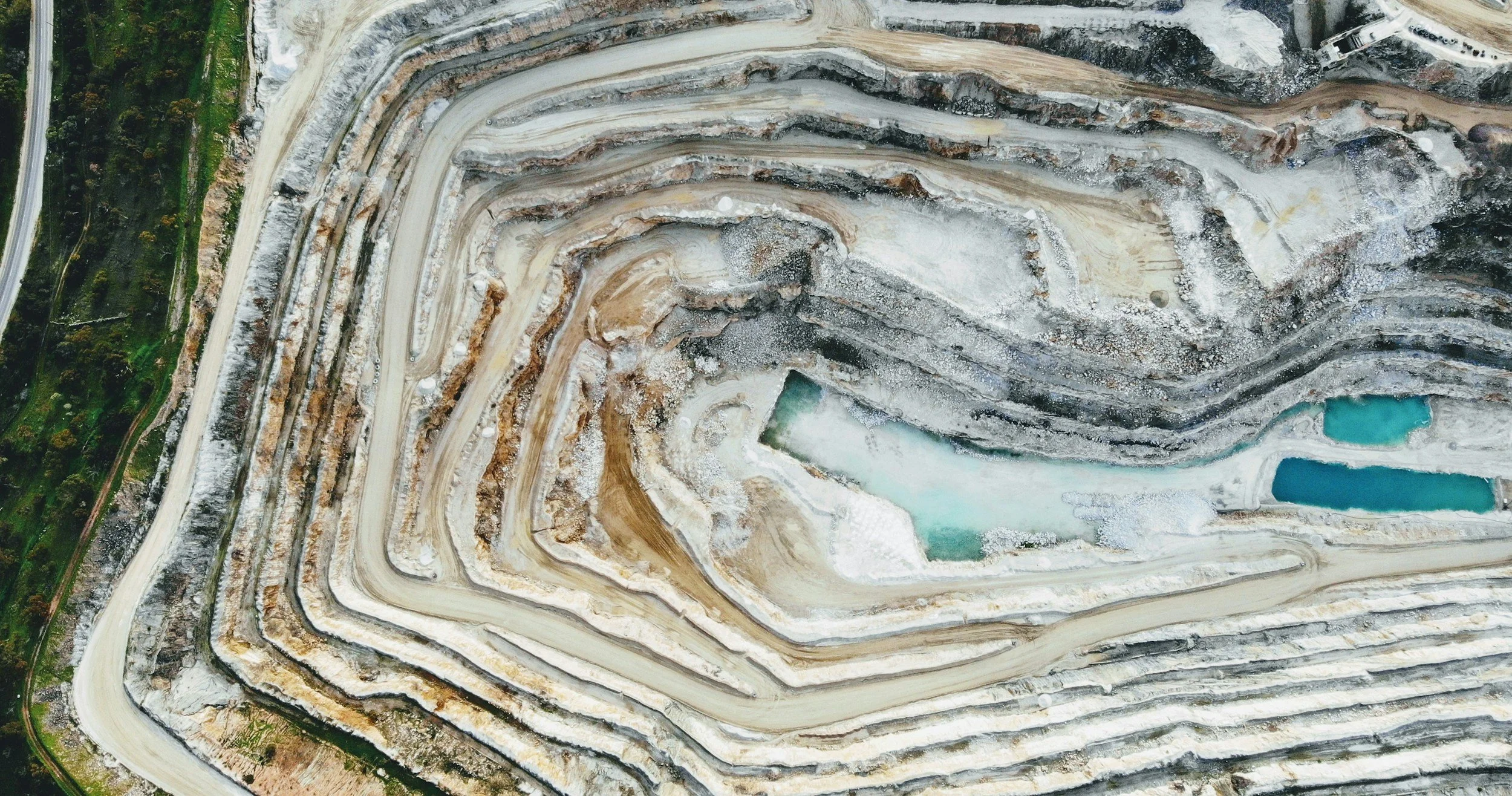
An expansion changes the loading, drainage and geometry of a mine. Historical movement does not tell engineers exactly how a future slope will behave, but it reveals patterns worth investigating before new excavation begins. Archived InSAR measurements can show slow movement around existing benches, dumps and nearby ground over several years.
A historical baseline changes the design conversation
Before works start, archived satellite data can show whether ground near the planned expansion was already moving and whether the trend varies with the seasons. Changes linked to drainage works or earlier mining stages give the design team useful questions to answer. That helps decide where to focus additional ground investigations and instruments.
Slope geometry and stability calculations still come from accepted geotechnical methods. The historical record makes those investigations better targeted.
Review the archive before specifying the survey
Check which satellites observed the site, the frequency and quality of acquisitions and whether vegetation or land disturbance caused gaps. Map the proposed expansion, existing pits, dumps, access roads and water infrastructure against the available movement records.
Then align movement histories with excavation chronology, geological models, piezometric data and previous stability assessments. Benches that were repeatedly reworked may not give a continuous record, so note where the series is interrupted.
Carry the baseline into execution
A documented historical condition is most useful when it remains available through construction, commissioning and operation. Keep the original observation periods and note any re-baselining after major works. Engineers can then tell movement that continued from earlier years apart from movement that first appeared during the expansion, and turn any concerning trend into a clear geotechnical question. Learn more about InSAR for mining.
Frequently asked questions
-
Historical displacement patterns around the planned expansion area, existing benches and dumps.
-
Mine plans, geology, groundwater data and previous stability models.
-
Not on its own. It highlights where to investigate, and geotechnical modeling predicts future behavior.
-
Before concept and detailed design decisions, so findings can shape the investigation program.
-
Outline the planned footprint and compare it with the available radar archive.
