
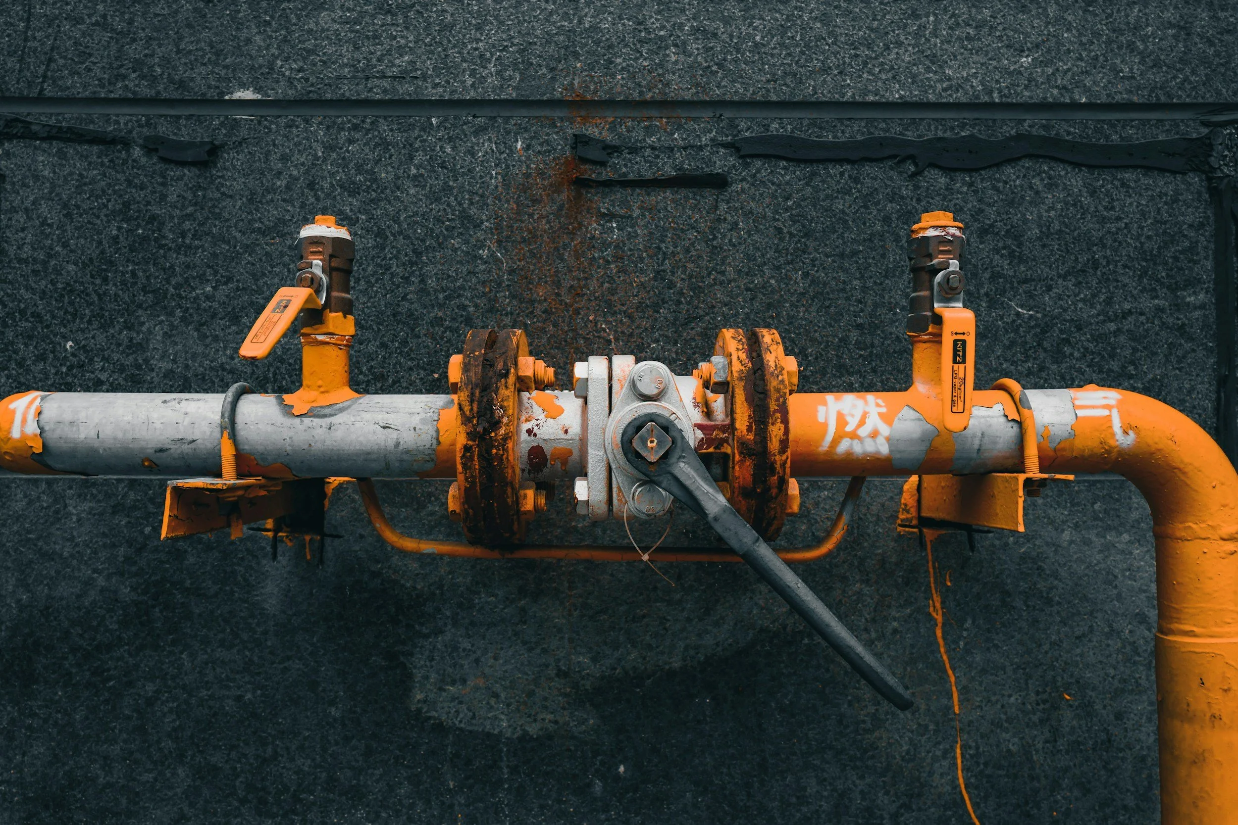
Utilities are responsible for huge numbers of assets that cannot all receive detailed ground surveys at the same frequency. The challenge is to tell the locations that need attention from those that can stay on routine monitoring. Satellite InSAR adds a consistent history of surface movement around substations, installations, access routes and corridors, filling the gaps where conventional surveys are patchy.
Network coverage is a resource decision
Electricity and gas operators manage substations, service connections, buried routes and long above-ground corridors. An effective inspection program does not treat every asset as equally exposed or equally critical. InSAR provides consistent spatial context about slow ground movement and helps teams focus where it overlaps with known vulnerabilities. Condition surveys, leak detection and electrical safety inspections continue alongside it.
Combine movement with the asset register
Locate foundations, cable entries, pipelines, valves, access roads and previously repaired sections. Compare movement histories with criticality, soil and groundwater conditions, maintenance records, local construction and known geotechnical hazards. Check whether each measurement comes from the asset, a neighboring building or the surrounding ground.
Set review rules that consider data confidence as well as movement, and treat coverage gaps explicitly. A recurring settlement trend around a critical installation may justify leveling or a foundation inspection, while a regional trend far from vulnerable assets may need no immediate work.
Explain why a visit is necessary
For each flagged location, record the observation, its confidence, the asset consequence and the proposed verification step. That gives managers a transparent reason to change a survey route or commission geotechnical advice. Routine statutory and safety inspections continue, and the satellite evidence directs the extra, targeted work. Also record where inspections found no issue, so the targeting rules keep improving. Calculate savings from actual inspection costs, including the follow-up work satellite findings generate. The Stedin case study is a good example of this approach in a gas network.
Frequently asked questions
-
Sustained ground movement around widely dispersed utility assets, in one consistent dataset.
-
Network criticality, maintenance history, soil data and survey records.
-
No. It measures surface movement around them, which helps decide where condition checks are most worthwhile.
-
In step with asset management cycles and local investigation needs.
-
Choose an area with high inspection demand and varied geology for a pilot.
