
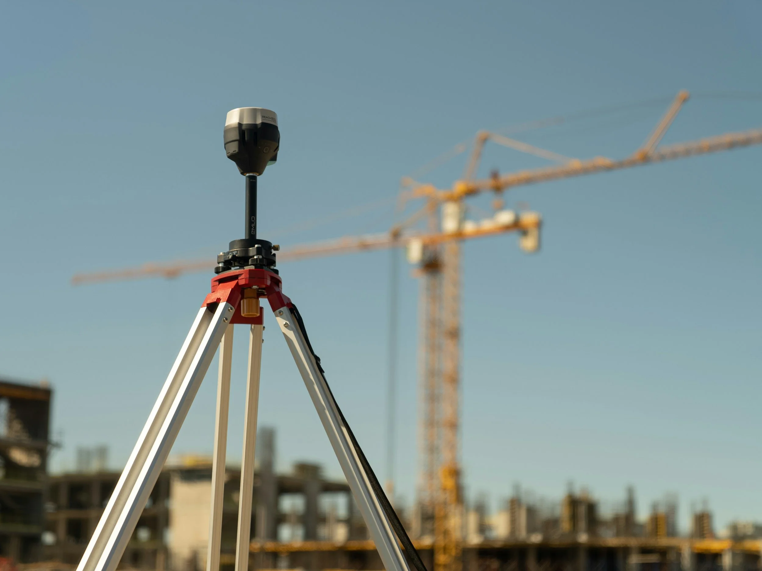
Satellite InSAR and ground instruments answer different monitoring questions, and they are strongest together. InSAR offers wide-area, repeatable observations and historical context where suitable radar targets exist. GNSS, leveling, total stations, prisms, piezometers, inclinometers and ground-based radar provide more localized measurements, different physical quantities or faster response. Combining them, with specialist interpretation, reduces blind spots, as long as the measurements are not treated as interchangeable.
Start by mapping what each method measures
GNSS tracks movement at instrumented locations in several coordinate components. Leveling is effective for precise height differences at surveyed points. Automated total stations and prisms follow selected structures. Ground-based radar provides frequent observations of a slope face from a suitable position. Piezometers describe pore pressure behavior and do not measure surface displacement. Satellite InSAR supplies wider spatial context but is limited by acquisition timing, coherence and viewing geometry. You can read how these methods worked together at a mine in the Kansanshi mine case study.
This mix matters because different failure mechanisms produce different warning signs. A change in pore pressure may come before, alongside or independently of surface movement. No single instrument should be expected to capture every relevant process.
Design the system around the risk
Suppose a mine identifies a slow-moving area beyond its existing prism network. InSAR can help locate and characterize that regional pattern. The geotechnical team can then decide whether additional instruments, inspections or a different radar setup are needed. InSAR complements the existing rapid-response system by showing where that system needs better coverage.
On construction projects, a pre-construction satellite baseline can identify existing movement in surrounding buildings and streets. Survey control points then provide targeted measurements during excavation. Together, these datasets help separate project-related change from movement that was already happening, although attribution still requires engineering evidence.
Make observations comparable
A satellite line-of-sight series should not be plotted against vertical leveling data as if both measure the same thing. Align coordinate systems, dates, reference conventions and units. Where possible, project ground measurements into the satellite viewing direction, or state the assumptions used to convert the satellite result. For a broader introduction, you can download The Ultimate Guide to Using InSAR.
Differences between instruments are useful diagnostic information. They may come from geometry, target placement, spatial scale, sampling time or real changes in the measured object. Investigate the differences before averaging them away.
Agree who owns interpretation and escalation
The monitoring plan should name the authority responsible for technical interpretation and action. Set triggers for reviewing unexpected change, rules for corroboration, a route for urgent on-site investigation and a process for documenting decisions. A dashboard that displays several data streams is not a monitoring strategy unless someone has defined how conflicting and uncertain observations will be handled.
SkyGeo's Kansanshi work describes satellite monitoring used alongside ground-based radar and robotic total stations on mine slopes, showing how multiple methods add value together. SkyGeo integrates its InSAR data with ground-based radar, total stations, inclinometers, extensometers, LiDAR and GNSS.
When are ground instruments essential?
If the safety case requires rapid warning, direct measurement of a critical variable or coverage of places with unreliable radar returns, ground instruments must remain part of the system. Satellite monitoring is strongest when its contribution is clearly defined, checked and integrated with site operations.
Frequently asked questions
-
It depends on the application. Align coordinates, time periods, viewing directions and independent control points before comparing satellite displacement with local instruments.
-
Not every point. GNSS provides precise measurements at selected locations and is a valuable cross-check, but it cannot cover every radar target. Agreement or disagreement should be interpreted in its spatial and technical context.
-
In many critical settings, dedicated ground-based instruments and site procedures are needed for fast updates. Satellite InSAR provides longer-term context where conditions allow.
Plan an integrated monitoring approach
If you already operate ground instruments, let's discuss where satellite measurements could fill the gaps. Contact SkyGeo.
