
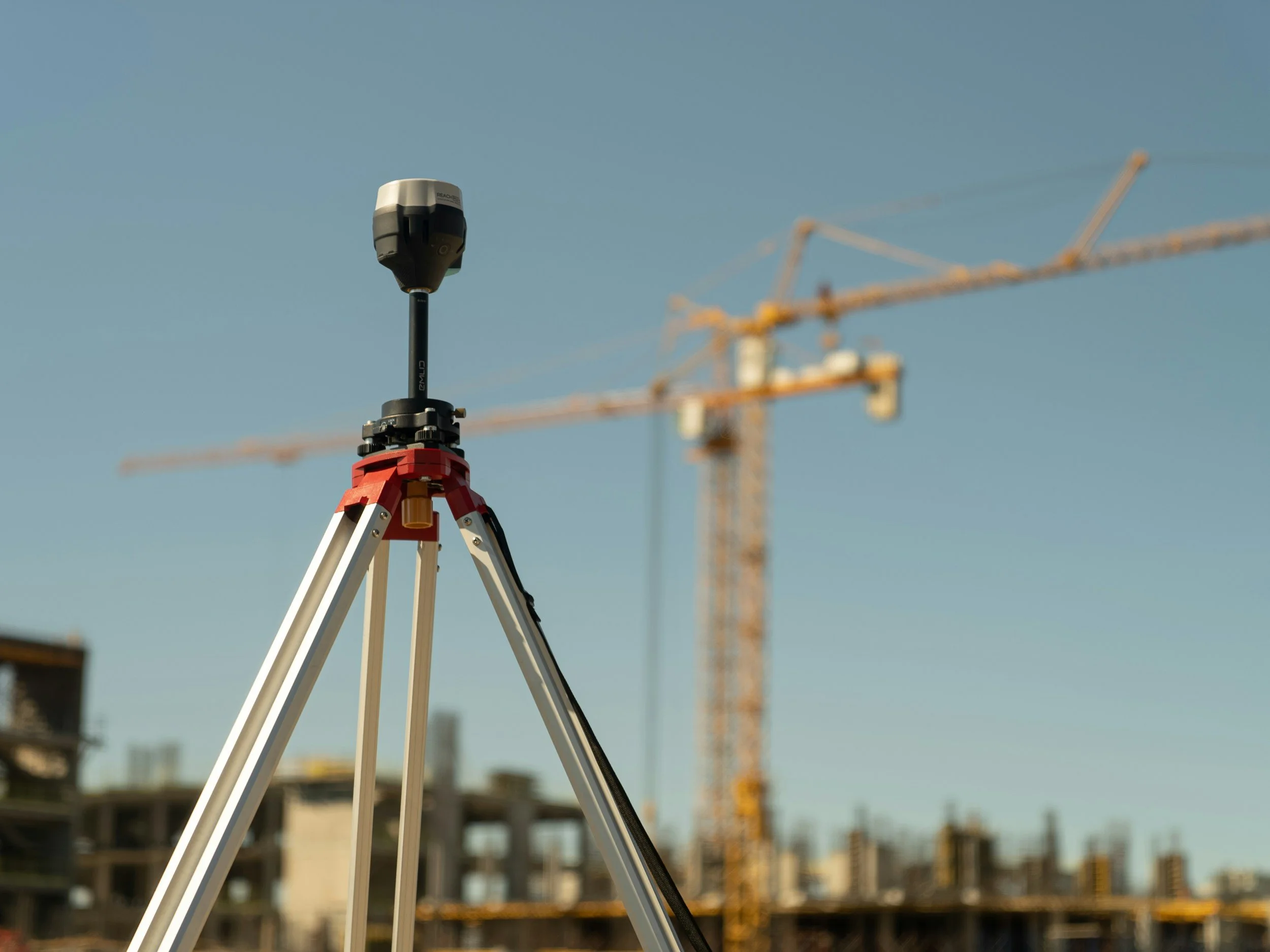
Combining InSAR with GNSS, leveling, prisms and ground-based radar
How satellite InSAR complements GNSS, leveling, prisms, piezometers and ground-based radar, and how to make the measurements comparable.
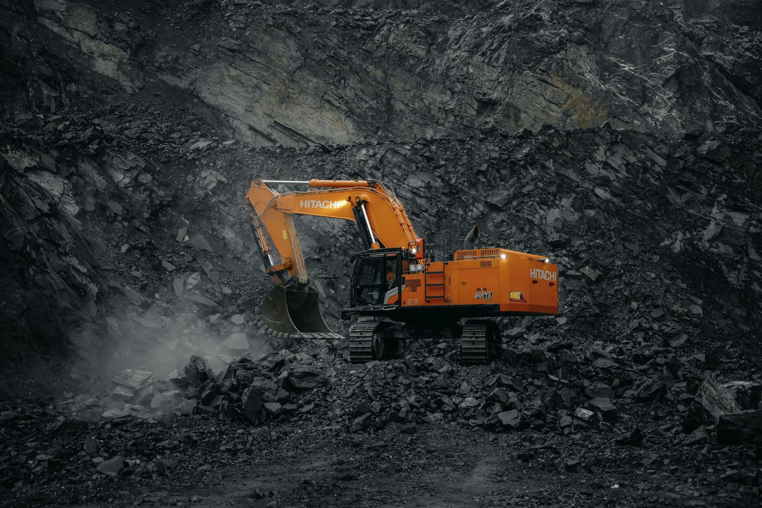
How InSAR complements geotechnical monitoring in mining
How satellite InSAR adds wide-area ground movement history to mine surveys, slope radar and instruments, and how to combine them in one monitoring program.