
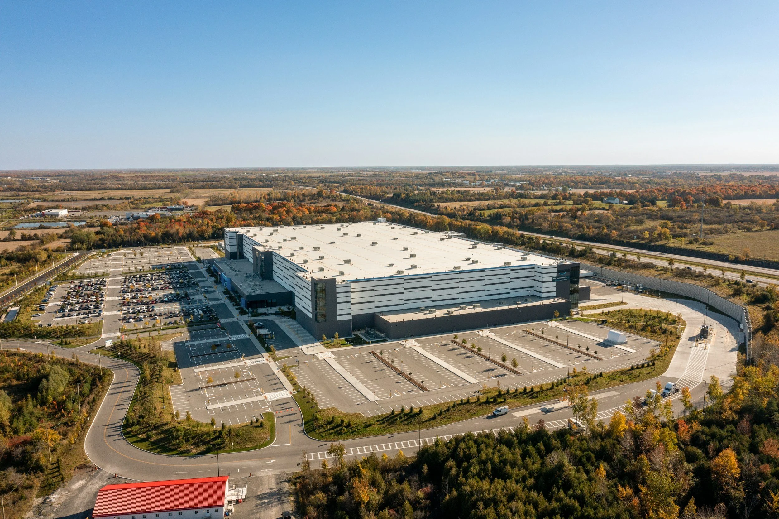
Industrial property owners may manage warehouses, production plants and logistics sites on very different ground. A consistent way to find unusual movement helps target detailed due diligence. InSAR examines long-term ground movement around each site and compares patterns across the whole portfolio, and built-up industrial surfaces usually provide good radar measurements.
Screen the portfolio while respecting each site
An owner may operate warehouses, plants, tank farms and distribution centers on varied soils. Loading, foundation design, pavement condition and surroundings all change how much settlement matters. A long-term movement map helps select sites for closer review, especially when several properties share similar ground conditions. Each flagged site then gets its own engineering assessment, since structural condition is confirmed on site.
Make property records part of the analysis
Map site boundaries and building footprints, then add foundation information, floor level surveys, incident reports, maintenance spending and any known land reclamation or groundwater issues. Review movement rates, spatial gradients and changes over time.
Separate movement measured on buildings from movement on surrounding hardstanding, and note where roof works or new construction interrupt the time series. A good portfolio dashboard shows both the movement pattern and how reliable each observation is. Sites with credible trends or high consequences are escalated to local engineers.
Connect screening to capital planning
If movement is confirmed near a critical production facility, the owner may commission more precise surveys or review drainage before scheduling a major refurbishment. For a less critical site, continued observation may be enough. Investment committees benefit from a short record explaining why further investigation is needed, the potential operational impact and the cost of better evidence. Learn more about InSAR for civil engineering and infrastructure.
Frequently asked questions
-
Settlement and differential ground movement at every site, compared on a consistent basis.
-
Property condition reports, facilities maintenance records and geotechnical data.
-
Not on its own. It shows the surface has not moved measurably, and foundation adequacy is confirmed through engineering assessment.
-
Annually, with focused follow-up where movement changes.
-
A selection of properties on different soil types.
