
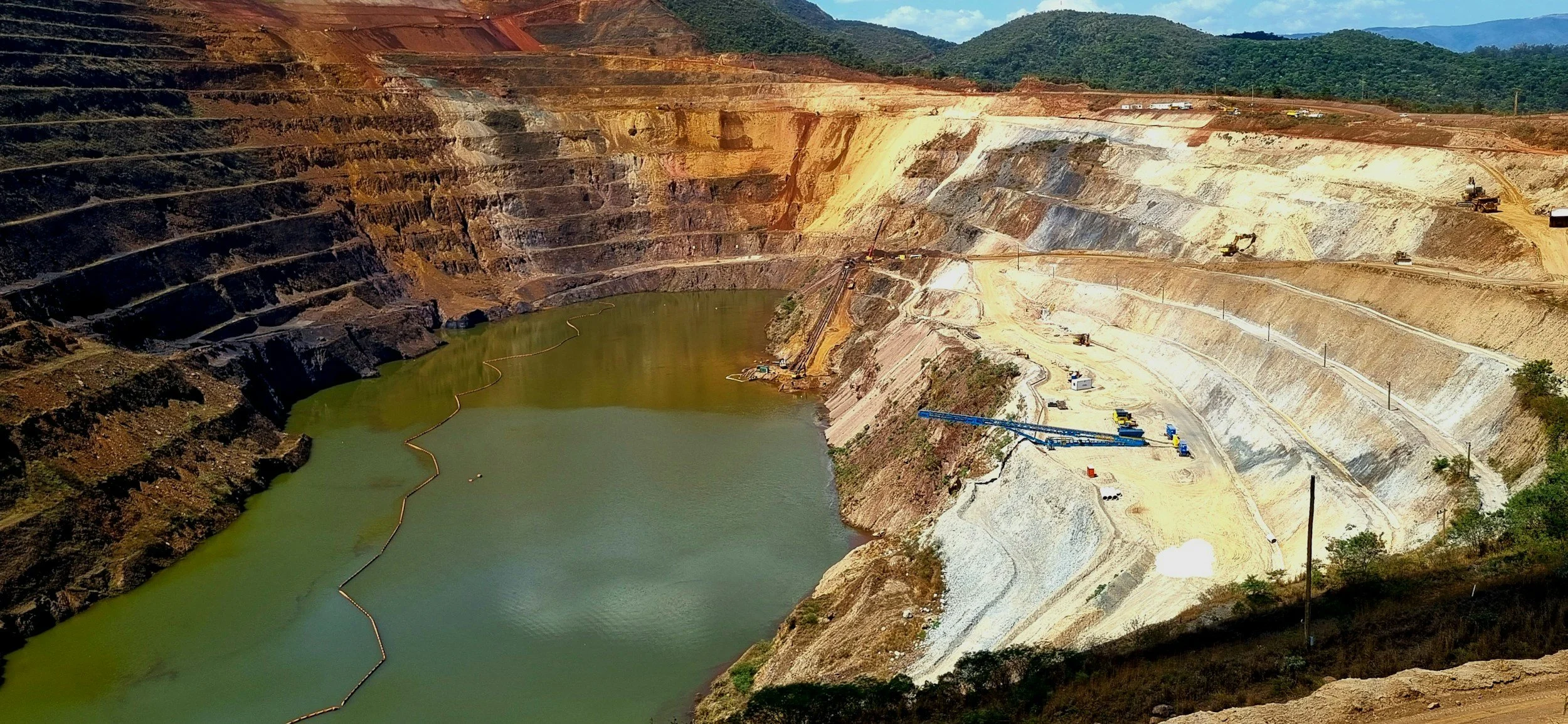
The Global Industry Standard on Tailings Management (GISTM) calls for integrated management of tailings facilities throughout their life cycle. Satellite InSAR can contribute valuable evidence about surface deformation and how it changes over time, across entire facilities and their surroundings. Using InSAR does not by itself demonstrate conformance with the standard, so facility-specific engineering assessment, appropriate monitoring, documented review and operational accountability remain essential.
The standard is about a management system, not a sensor purchase
Developed through the Global Tailings Review and published in 2020, GISTM covers site knowledge, design, construction, operation, monitoring, closure, governance and public accountability. Its requirements are not met simply by buying another type of data. The monitoring plan must be linked to the facility's hazards, consequence classification and responsible professionals. You can read more about how InSAR supports tailings monitoring on SkyGeo's InSAR for mining page.
The starting question is therefore not "Can InSAR make us compliant?" but "Which deformation questions matter for our facility, and could satellite observations improve how we assess them?" Any interpretation of conformance should be checked against the current standard and the rules in your jurisdiction.
Where satellite observations add value
InSAR can extend movement observation across broad areas, including embankments, surrounding slopes, waste facilities and access corridors, wherever coherent radar targets exist. It provides historical information that helps put an emerging trend in context, and repeated measurements can reveal spatial patterns worth a closer look even where the instrument network is sparse.
This is particularly useful for portfolio oversight, where technical teams can screen multiple facilities, document changes and decide where more detailed investigation is needed. However, satellites cannot directly measure many variables that matter for tailings stability, such as internal pore pressures, drainage function, material properties or the integrity of every critical component.
Show how the observations enter the monitoring plan
Define the specific deformation mechanisms the InSAR service is expected to help detect, the planned acquisition and reporting intervals, likely coherence gaps, measurement directions and uncertainty. Establish how the data relates to survey monuments, piezometers, inspections and geotechnical modeling. If monitoring produces a finding, specify who reviews it and how it enters the site's formal trigger and response process. You can find more technical detail in SkyGeo's scientific papers library.
An internal assurance review should be able to trace each result to the responsible person, analysis period, methods, interpretation and decisions taken. Unlabeled maps and unsupported thresholds do not provide that traceability.
Closure and long-term responsibility
Monitoring needs change as a facility moves from operation to closure and post-closure. InSAR can track slow surface changes over long periods, but continuity of useful measurements depends on site conditions and the imagery record. A closure strategy should therefore plan for gaps in satellite coverage and identify alternative evidence where necessary. You can read more in our article on InSAR after tailings closure.
The standard's emphasis on life cycle responsibility makes it important to keep accessible records and explain limitations. Trends that look stable over a short interval are no substitute for a proper long-term engineering program.
Does GISTM require InSAR specifically?
No. GISTM does not name satellite InSAR as a required technology, and the choice and sufficiency of monitoring methods must be justified for each facility. SkyGeo can provide the InSAR data and analysis that supports deformation assessment within that wider system, while the accountable operator and its qualified engineers remain responsible for compliance and safety decisions.
Frequently asked questions
-
No. GISTM sets out broader operator duties and monitoring expectations. The choice of instruments must suit the facility's conditions and applicable requirements.
-
Not on its own. Satellite data adds valuable wide-area screening and historical review, while physical inspections, geotechnical assessments and required monitoring remain necessary.
-
Record the areas monitored, the data available, uncertainties, expert review, any actions taken and how the findings relate to the facility's monitoring plan.
Discuss tailings deformation evidence
If you are reviewing monitoring arrangements at a facility, SkyGeo can discuss how satellite movement histories could complement your engineering program. Contact SkyGeo.
