
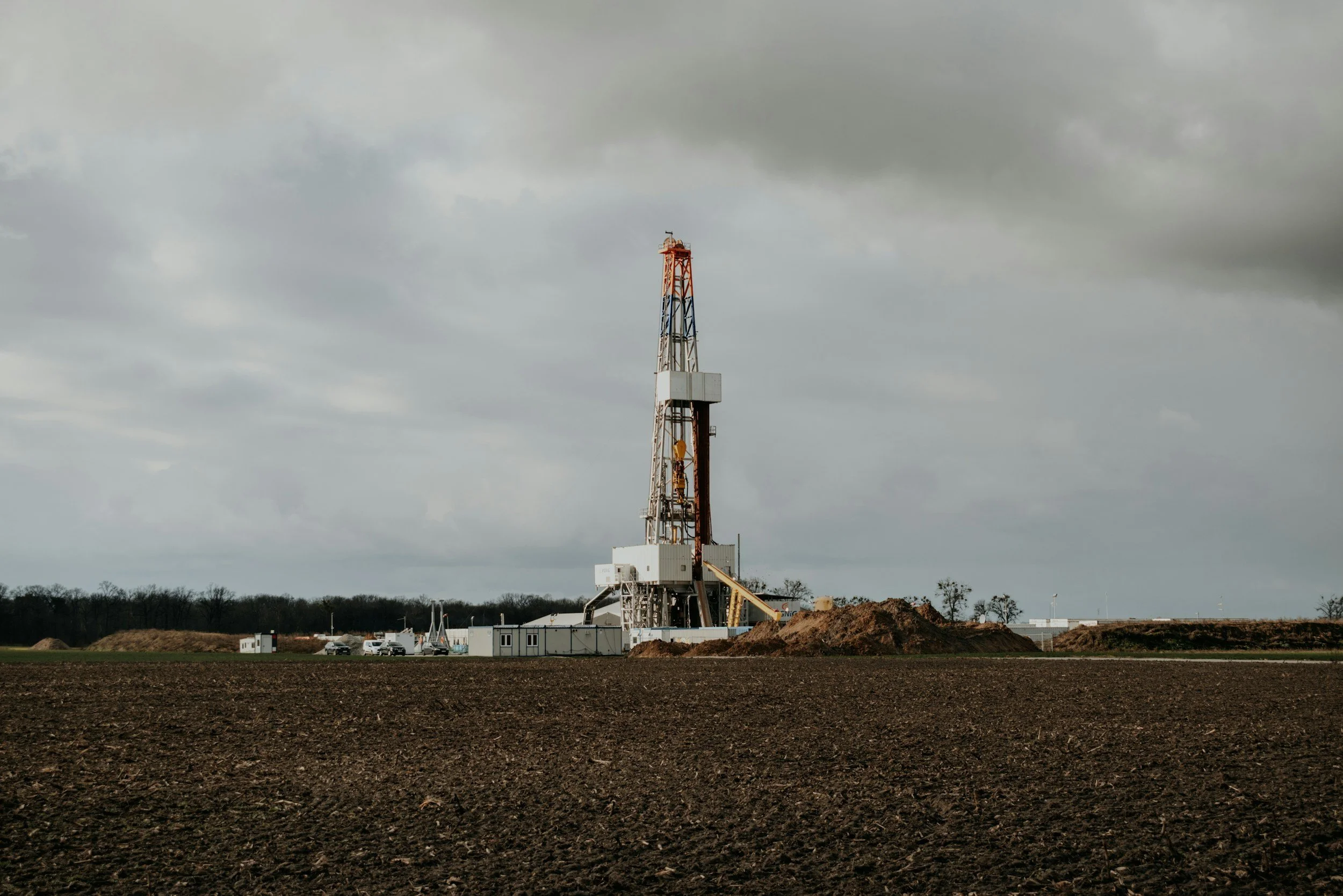
Without a pre-operational record, later surface movement can be hard to interpret. A baseline describes what the ground was doing before a project changed conditions above or below the surface. Historical radar archives often make it possible to build that baseline retrospectively, including long-term background trends and seasonal variation.
Define "before" precisely
A baseline is only valuable if its period and geographic coverage are clear. Archived satellite observations can show that surface movement was already present before a project, including seasonal variation or regional trends. Archive availability differs by location, satellite mission and surface conditions, so a good baseline states which dates have usable measurements and which areas are observable.
Set up comparable monitoring periods
Map the planned facilities, wells, pipelines and surrounding area of influence before choosing the data footprint. Review archive availability, then document reference points, baseline rates, uncertainty and known regional causes of movement. Keep the processing assumptions and data quality notes.
Where possible, align satellite observations with pre-development surveys, geology, groundwater records, land use and operating history. New grading, buildings or earthworks can change the radar targets, so analysts may separate the pre-development record from a new post-construction series.
Plan for future interpretation
Agree who will review movement after commissioning, how significant changes will be investigated and which operational records will provide context. A baseline provides a dated reference against which later observations can be compared. That focuses engineering discussions on whether a trend is new, established or still uncertain, and it supports project assurance and stakeholder communication. Learn more about InSAR for the energy industry.
Frequently asked questions
-
Existing subsidence, uplift and seasonal ground behavior before development or injection begins.
-
Regional geology, groundwater data and the history of nearby operations.
-
No. Archives can contain coverage gaps and changes in satellite missions, so availability is checked for each site.
-
Before any major operational change, with a plan for repeatable updates afterward.
-
Check archive suitability over the intended area of influence.
