
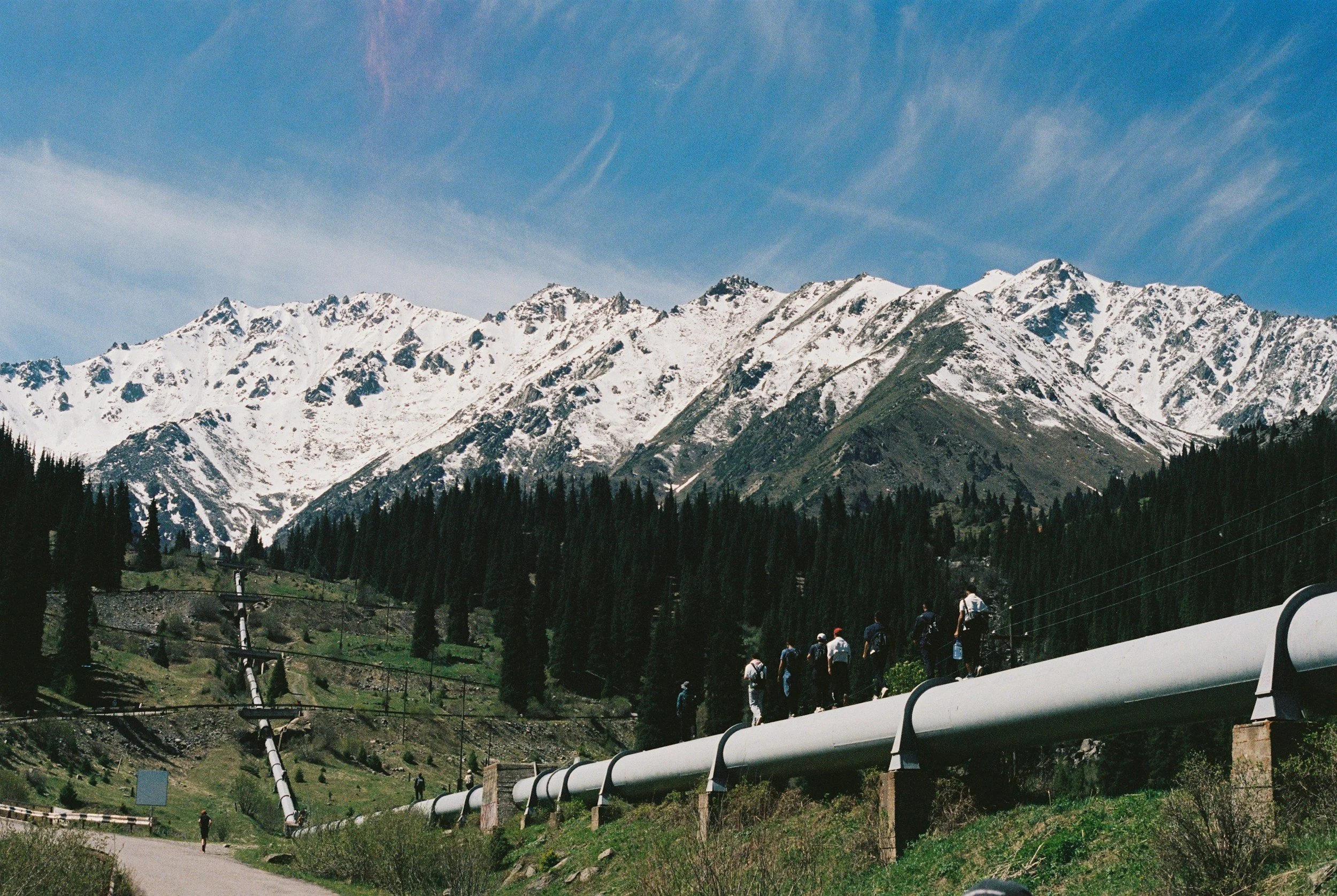
Pipeline routes cross slopes, waterways, soft ground, mining districts and areas with changing groundwater. Integrity managers need to know where external ground movement deserves more engineering attention. InSAR supports long-distance screening for persistent movement along the whole route, which complements local geotechnical studies and shows whether known active areas are changing.
A corridor contains different kinds of exposure
A pipeline may cross unstable slopes, subsiding basins, river valleys, reclaimed ground and construction areas. No single technique captures every integrity threat. Satellite deformation data is particularly effective as a broad screening layer for slow surface movement near the route. Pipe strain, wall thickness and sudden landslides are covered by other integrity and geotechnical methods.
Screen the route in meaningful segments
Overlay the pipeline alignment, rights of way, valve stations and critical crossings with validated movement histories. Use route geometry and ground conditions to separate a broad regional trend from concentrated differential movement.
Combine findings with route depth, pipe properties, terrain, in-line inspection results, patrol reports, landslide inventories, geotechnical assessments and known construction works. Where the line is buried or vegetated, the satellite targets may sit on nearby infrastructure or exposed ground, and the report should make that clear. Ground movement near the pipe is then checked against verified strain in the pipe itself.
Use monitoring to commission the next inspection
A well-founded priority list identifies the milepost, evidence of persistent movement, data quality and the information still needed. The next step might be a targeted ground survey, slope inspection, borehole review or additional local instruments. Asset criticality and the consequences of an interruption should shape the order of work.
A corridor InSAR program succeeds when it improves where field engineers focus. Learn more about InSAR for the energy industry and our article on pipeline corridor screening.
Frequently asked questions
-
Ground movement along the corridor and on nearby slopes, often over hundreds of miles in one dataset.
-
Route surveys, geohazard inventories, integrity data and terrain information.
-
Not necessarily. Pipe strain depends on burial, soil interaction and pipe properties, so it is assessed through integrity methods.
-
Periodically, with rapid local monitoring added where specific geohazards require it.
-
With a corridor that has known geotechnical exposures and a documented inspection history.
