
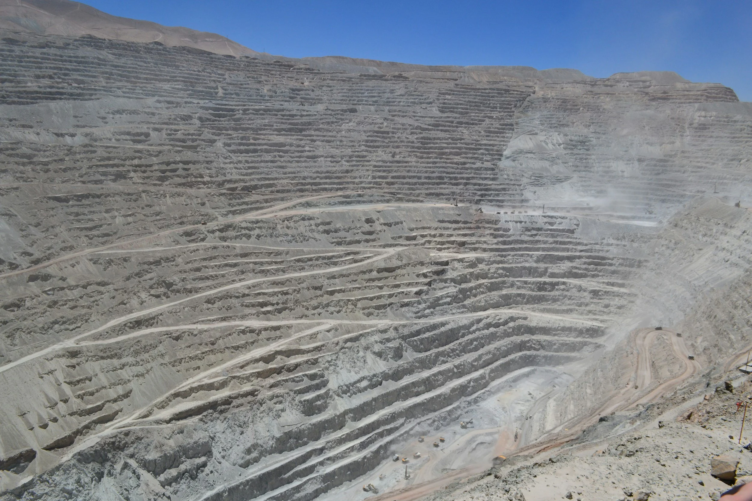
InSAR is a powerful support for geotechnical slope assessments, showing how measurable surfaces have moved across space and time, including areas beyond the reach of site instruments. Engineers use those histories alongside geology, slope geometry, groundwater conditions and site instruments to identify areas that deserve attention. InSAR provides screening and context that complements the safety-critical slope monitoring system at a mine or construction project.
Start with the ground model
A slope's behavior depends on material properties, faults, joint orientation, water pressure, excavation and loading. Satellite measurements do not reveal these properties directly. Before selecting radar imagery, the geotechnical team should outline the likely direction of movement, the expected speed and the surfaces that need to be observed. That determines whether the viewing geometry is favorable and whether historical movement data would reduce uncertainty in the existing model. You can read more about InSAR for slope stability on SkyGeo's InSAR for mining page.
Understand radar visibility on steep terrain
A steep slope may face toward or away from a radar satellite. Layover and shadow can hide parts of the slope, and movement that runs at a poor angle to the viewing direction may be understated. Active excavation, blasting and rockfall can destroy coherent radar targets. A coverage and quality map is therefore essential. A blank area does not confirm stability. Opposite viewing tracks and complementary sensors can improve understanding, depending on site conditions.
Use movement patterns to guide investigation
Rather than assuming the fastest point is the most dangerous, check whether the displacement is persistent, spatially consistent and related to known structures or material boundaries. Compare the timeline with rainfall, pumping, excavation phases and readings from prisms, extensometers or ground-based radar. A consistent broad trend may justify a review of the slope model, while a suspicious isolated point may first need a quality check. The useful output is a well-reasoned investigation priority. The Kansanshi mine case study shows how InSAR measurements fed into a site-specific engineering response that reduced slope displacement.
Separate regional awareness from active safety monitoring
Satellite revisit intervals and processing times are not equivalent to continuous wall surveillance. Where a mine or worksite needs fast escalation, ground-based radar and other approved systems do that job. InSAR adds longer historical context, identifies movement outside instrumented zones and helps refine the inspection program. The combination works best when each method has a clear task and escalation route.
Document what the observation means
A clear slope report includes the slope boundary, line-of-sight geometry, usable measurement density, displacement histories, uncertainty and any operational events considered in the interpretation. It describes how much change was observed without presenting a cause as fact unless other evidence supports it. Site-specific suitability and interpretation should always be confirmed by qualified geotechnical engineers before the results are used operationally.
Frequently asked questions
-
Sometimes measurable deformation appears before visible signs, but neither the visibility nor the lead time is guaranteed. The slope may be poorly observed, or it may change too quickly for the acquisition schedule.
-
Not reliably. Thresholds depend on local history, expected behavior, failure mechanisms, data uncertainty and the consequences of a missed event.
-
That depends on the risk. Ground-based radar, prisms, GNSS, extensometers, groundwater measurements and inspections all provide information that satellite observations cannot.
