
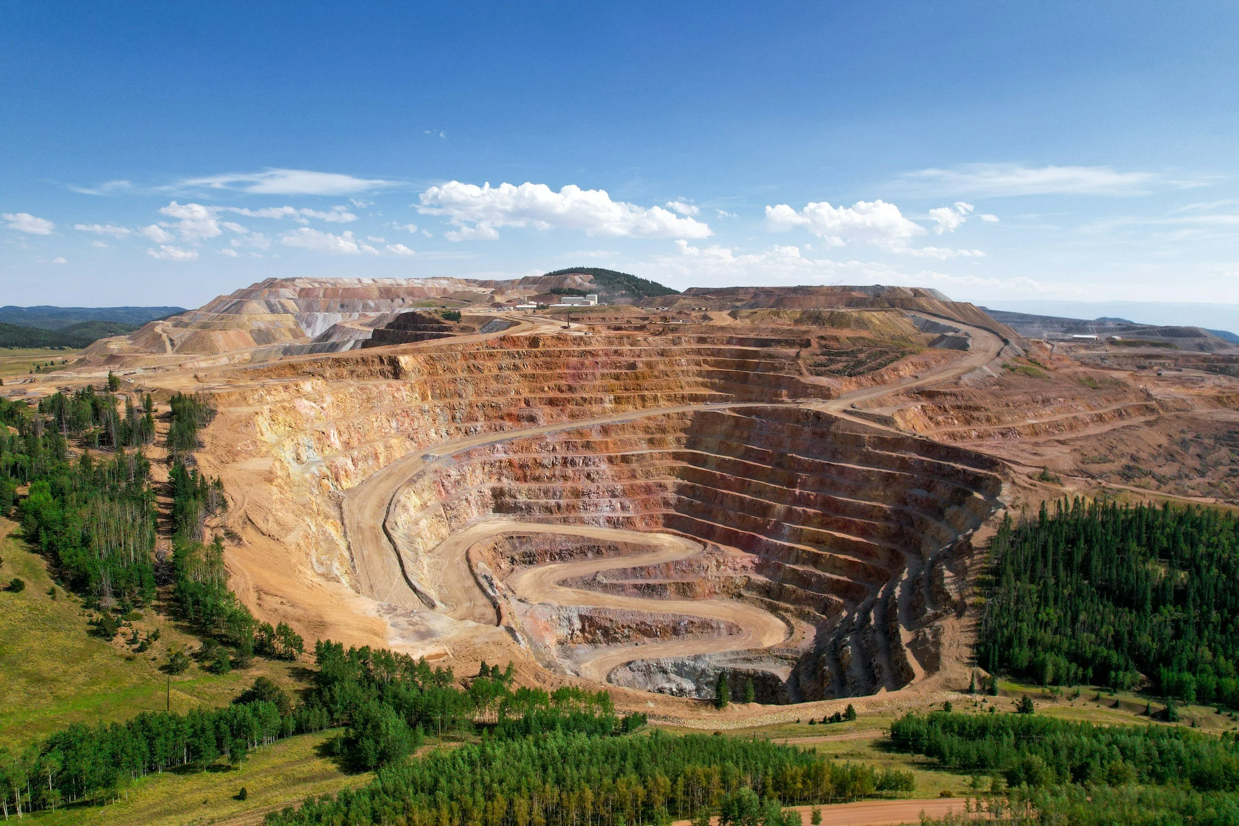
Why InSAR data is easy to misinterpret at mines
Five common mistakes when reading InSAR data at mines, from line-of-sight geometry and data gaps to failure prediction, and what to ask your analyst.
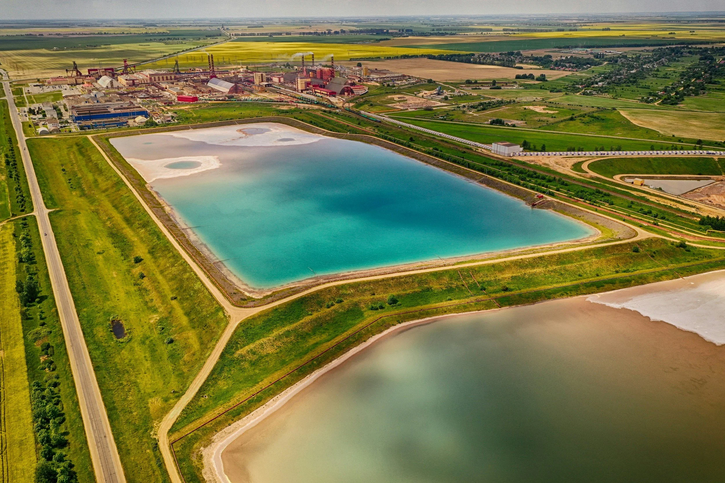
Monitoring tailings storage facilities and waste dumps with InSAR
How satellite InSAR supports monitoring of tailings storage facilities and waste dumps, how to interpret results, and how it relates to GISTM.
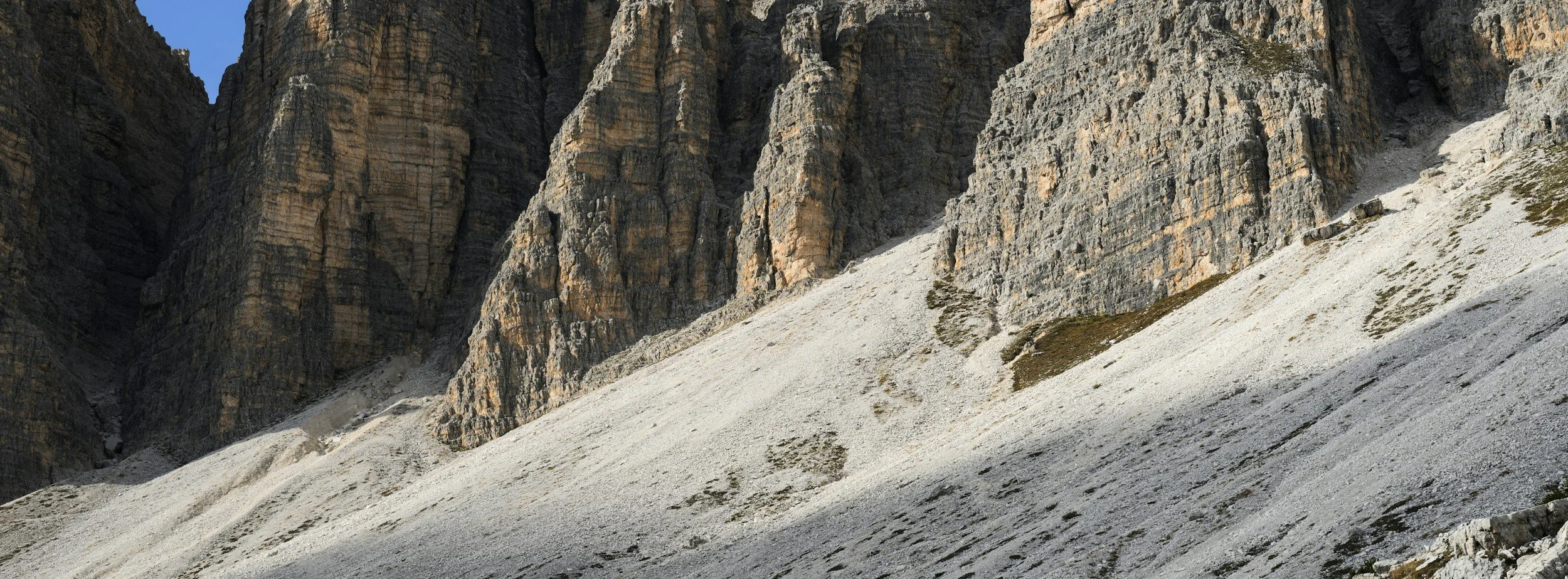
InSAR and geotechnical slope stability: how movement histories support assessment
How InSAR movement histories support slope stability assessment in mines and construction, and why they complement rather than replace slope monitoring.
How InSAR complements geotechnical monitoring in mining
How satellite InSAR adds wide-area ground movement history to mine surveys, slope radar and instruments, and how to combine them in one monitoring program.
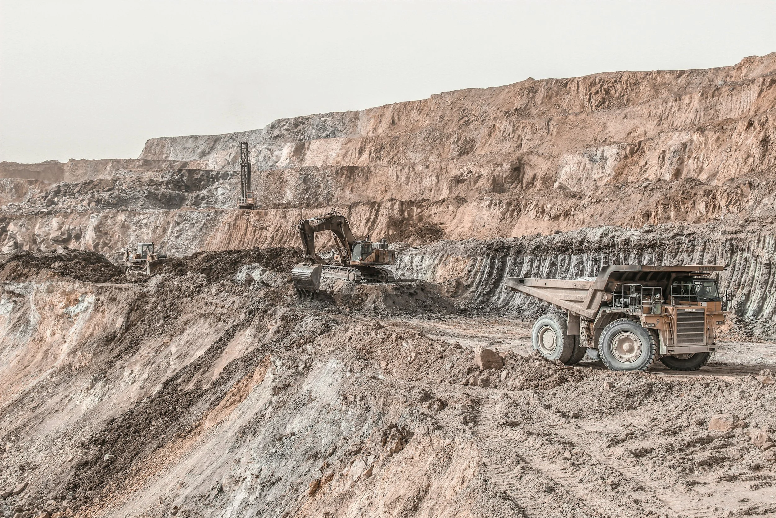
Satellite InSAR vs ground-based radar: how they work together
Satellite InSAR provides wide-area history, while ground-based radar watches selected slopes at high frequency. Learn how the two complement each other.