
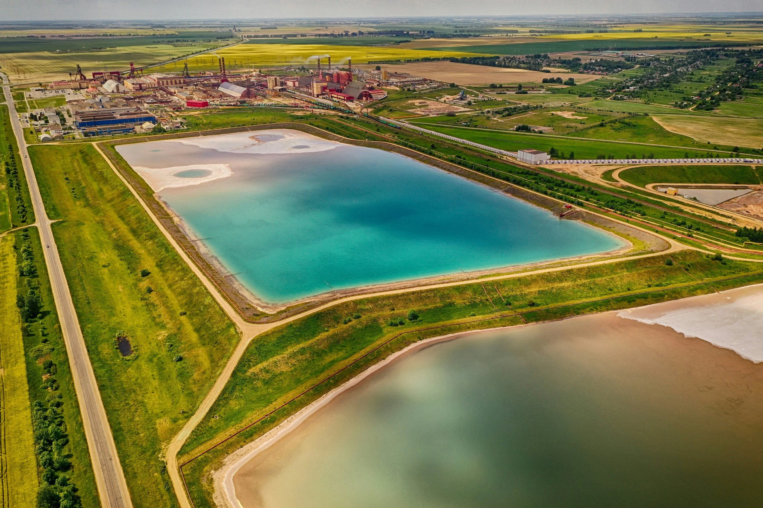
Satellite InSAR provides a repeatable record of ground movement across tailings storage facilities, embankments, waste dumps and the surrounding ground, wherever reliable radar targets exist. It is a valuable tool for screening, trend review and setting investigation priorities, including in areas without ground instruments. It works within the facility's site-specific monitoring program, alongside qualified engineers and the other required measurements.
Define the monitored features
A tailings facility includes the embankment, deposited material, foundation, drainage systems and surrounding ground, and each can behave very differently. The monitoring brief should identify which zones can produce useful radar measurements, the main expected directions of movement and where visibility is poor. Waste dumps have a different construction history and material behavior, so a shared map legend does not mean a shared mechanism or risk threshold. You can read more about InSAR for tailings monitoring on SkyGeo's InSAR for mining page.
Interpret displacement alongside site operations
A change in movement can coincide with deposition, a shift in pond location, rainfall, drainage work or construction stages. Timing alone does not prove cause. Engineers should compare patterns with pore pressure data, surveys, inspection records and the facility's design assumptions. A stable line-of-sight trend at one radar target does not rule out internal deformation or poor performance in an area that was not observed. Quality flags and unmeasured zones belong in the report.
Build satellite results into the monitoring plan
A useful protocol sets routine review intervals, names who evaluates concerning trends and lists appropriate follow-up measurements. If a feature moves outside its expected range, the response might include checking radar quality, reviewing site instruments, carrying out a field inspection or requesting a geotechnical assessment. The escalation sequence must be approved by the facility's responsible team, with InSAR as one input rather than an autonomous failure warning system. The Kansanshi mine case study shows how InSAR measurements fed into a site-specific engineering response that reduced slope displacement.
How InSAR relates to GISTM
The Global Industry Standard on Tailings Management (GISTM) covers governance, risk assessment, monitoring and accountability across a facility's life cycle. It does not require any particular satellite product. InSAR can contribute supporting evidence where it addresses a defined risk and is integrated into the monitoring plan, but buying satellite data does not by itself demonstrate conformance. Operators should record which facility-specific requirements the satellite evidence supports.
What you should receive
A decision-focused deliverable separates observed displacement, uncertainty and interpretation. It includes imagery dates, time series, relevant asset boundaries, the reference area, periods of changing behavior and areas where measurement is unreliable. SkyGeo provides the InSAR data and analysis as an additional, independent source of evidence for your engineering team, which retains operational authority and legal obligations.
Frequently asked questions
-
No. GISTM does not prescribe a specific satellite technique. Operators choose monitoring and assurance measures suited to their facilities in line with applicable requirements.
-
Not every movement. Visibility, vegetation, surface changes, line-of-sight geometry and the rate of movement can prevent reliable measurements in some areas, which is why coverage is always reported alongside the results.
-
No. The materials, construction methods and failure modes differ, and the monitoring scope and interpretation should reflect those differences.
