
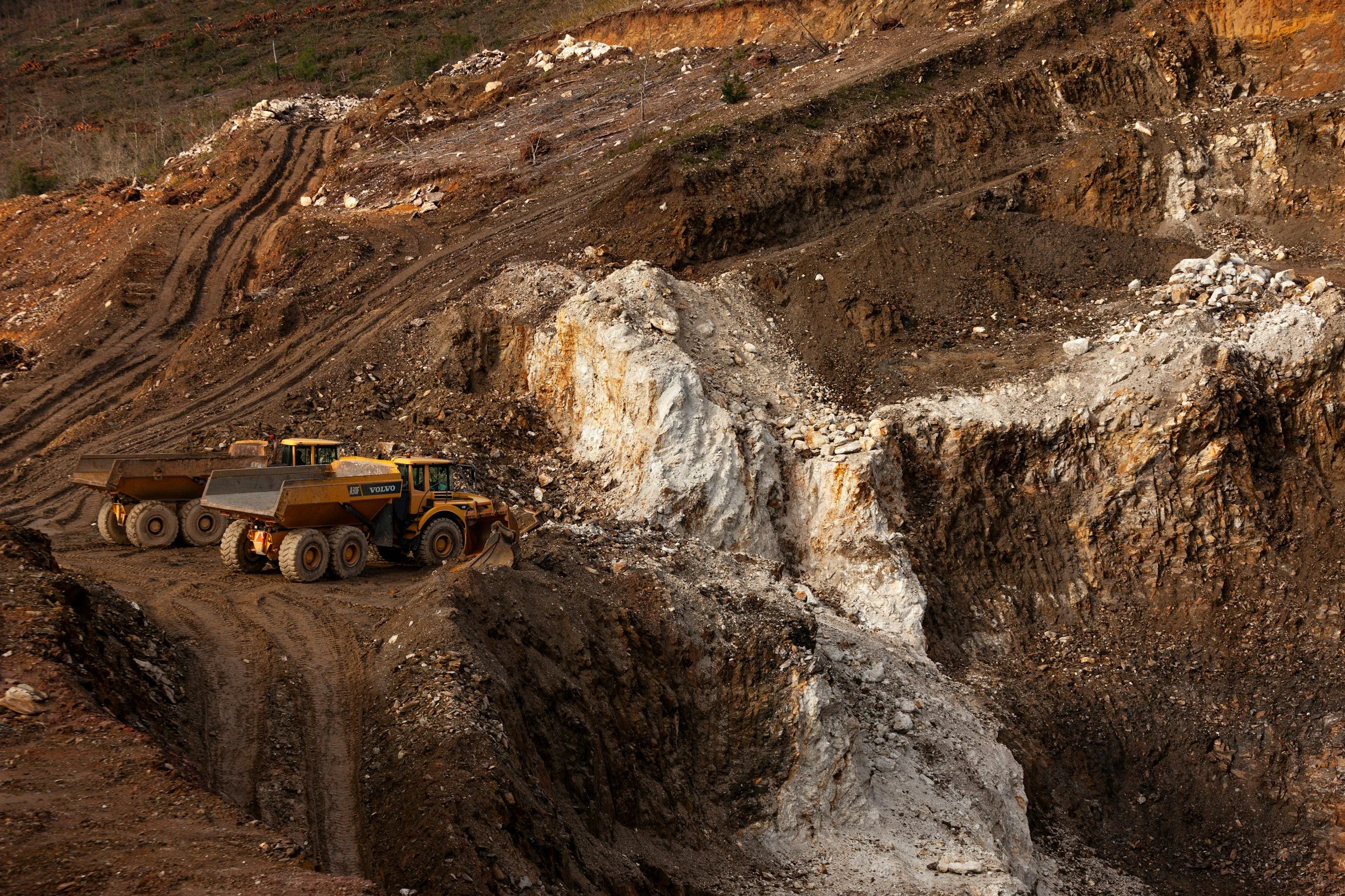
Local instruments provide valuable measurements where they are installed. They do not necessarily show how surrounding dumps, access roads or undeveloped parts of the lease are moving. InSAR extends the view beyond instrumented areas, revealing long-term changes that are easy to miss during occasional visits.
Existing instruments answer part of the question
A well-instrumented slope may have excellent coverage where survey points, prisms or radar are installed, while neighboring dumps, access routes and inactive areas receive less attention. Satellite measurements reveal broader patterns on measurable surfaces across the whole lease. That shows where an inspection might be extended and where the next survey point or instrument would be most useful.
A new signal is a prompt to investigate. Geological structure, mining activity and viewing geometry all affect how movement appears, so interpretation matters.
Find the real blind spots
Map existing instruments and their coverage alongside the available satellite targets. Separate areas without instruments from areas without reliable satellite measurements, because they are different gaps. Review spatial patterns and rates against pit designs, water conditions, blasting history, dump lifts and recent earthworks.
A cluster that persists over several dates is usually a stronger reason to investigate than a single noisy point. Field teams should validate significant changes before the monitoring plan is revised. Steep geometry, shadow and freshly disturbed surfaces can limit satellite coverage, and those areas are flagged clearly.
Choose where to add ground measurements
The most useful outcome is a recommendation to extend a survey route, install a new instrument, review drainage or investigate a previously unknown moving area. InSAR then continues to provide long-term context, while ground instruments deliver local frequency and movement components the satellite cannot. Monitoring design becomes an iterative process: screen broadly, investigate selectively and adjust the network based on evidence. Learn more about InSAR for mining.
Frequently asked questions
-
Yes. That is one of its main strengths. It measures movement across the whole lease wherever surfaces reflect radar reliably.
-
Asset locations, geological structures, drainage and field surveys.
-
Steep faces in radar shadow, vegetated ground and recently disturbed surfaces can be difficult. Those gaps are mapped so other methods can cover them.
-
Periodically, alongside the higher-frequency local systems.
-
Draw the footprint of existing instruments and identify the areas of concern just outside it.
