
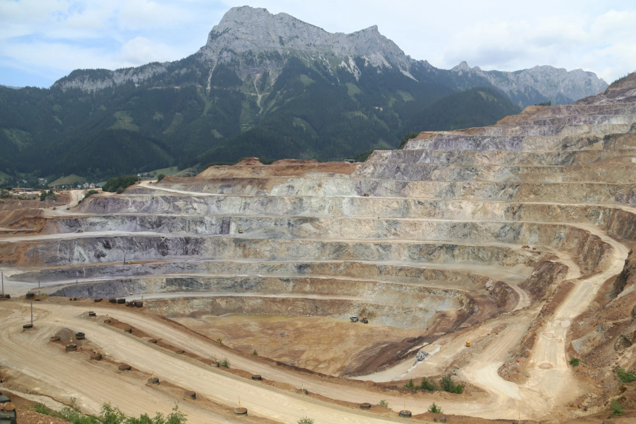
Pit walls are not the only parts of a mine that move. Tailings facilities, waste dumps, haul roads, processing areas and the surrounding ground each have their own geotechnical behavior and monitoring needs. InSAR puts all of these areas on a common spatial and historical footing, which makes it a natural backbone for a mine-wide program.
Design around the whole operation
A mine-wide program should reflect how the site is organized. Active pit walls, inactive slopes, waste rock dumps, tailings facilities, haul roads, buildings and surrounding ground each carry different hazards and operational consequences. The goal is not one displacement threshold for everything. It is to decide which areas need broad periodic screening, which need detailed investigation and which need rapid local instruments because conditions can change faster than satellite acquisitions.
Wide-area satellite observations are especially valuable where some assets are heavily instrumented and others are only inspected occasionally.
Set a consistent review process
Start with a georeferenced register of monitored areas and a geotechnical owner for each. Define the questions for each area, such as slope movement, long-term settlement or changes after an intervention, and choose satellite data and processing to suit them. Agree how movement histories, uncertainty and comparison periods are reported, and when a trend deserves engineering review.
Record observation gaps caused by geometry, vegetation or surface changes. Discuss results alongside slope design, groundwater, blasting, rainfall, survey data and operational changes, and integrate them with ground-based radar, prisms, GNSS, piezometers and inspections. A modest rate can still matter if the pattern is new or the consequences are high, so the program produces location-specific priorities rather than a single risk color.
Link observations to interventions
The Kansanshi mine case study is a good example of measurement leading to action: satellite monitoring supported an investigation, and subsequent depressurization and drainage works were associated with a reduction in measured displacement. A mine-wide report should name each anomaly, the field checks requested, who acted and whether movement changed afterward. That creates a clear evidence trail for geotechnical management and operational reviews. Learn more about InSAR for mining.
Frequently asked questions
-
Movement trends across pits, waste dumps, tailings facilities, haul roads, infrastructure and the surrounding ground, all in one consistent dataset.
-
Ground-based radar, prisms, piezometers, surveys and inspection findings.
-
No. Fast-developing failures need local instruments that report continuously. InSAR adds the site-wide and long-term view.
-
No. Each asset and hazard should have its own review and escalation requirements.
-
Inventory the mine's assets and identify the biggest gaps in existing spatial monitoring.
