
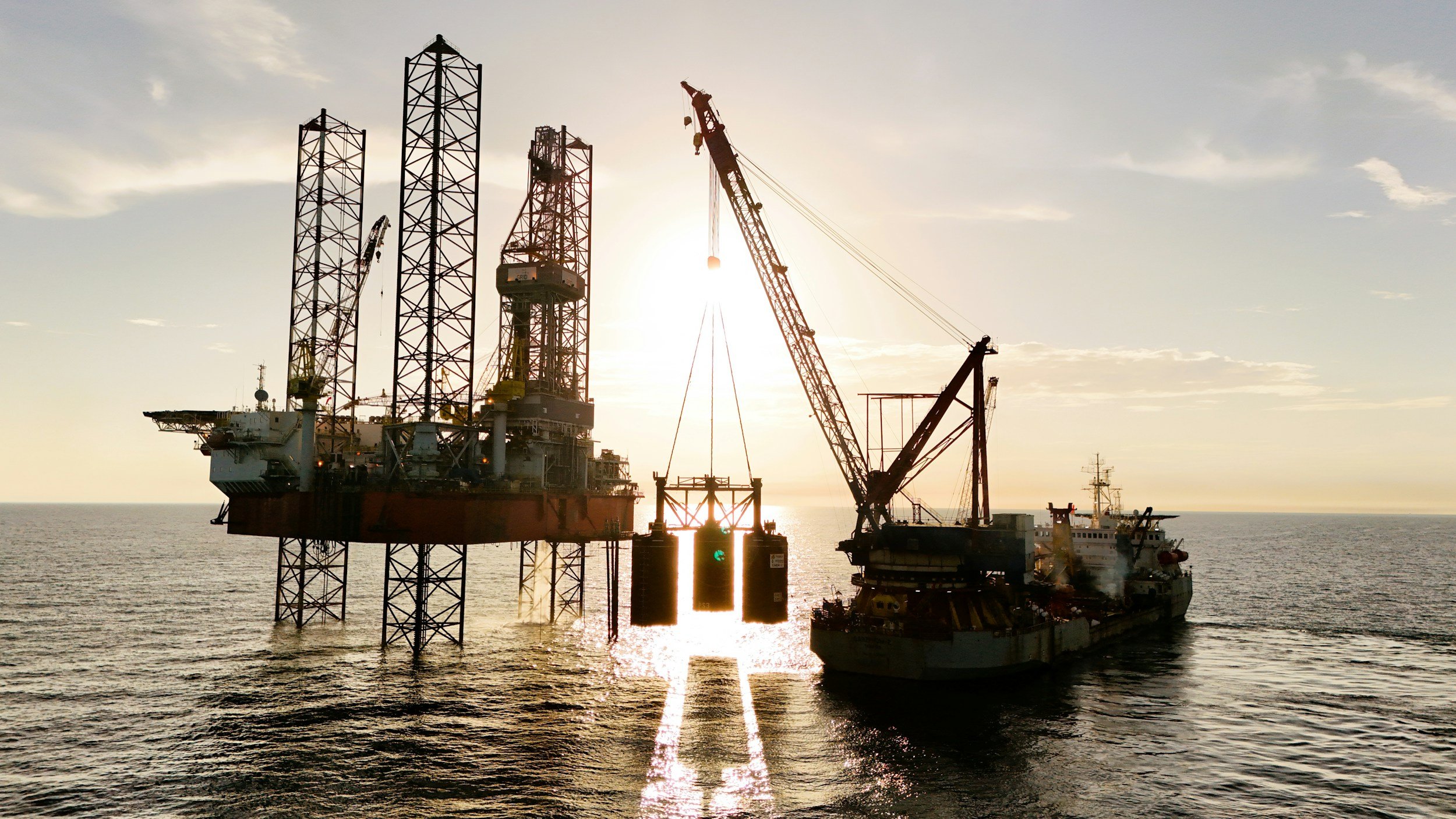
Satellite InSAR can support movement assessment of fixed offshore platforms and coastal structures. SkyGeo has verified InSAR results against available geodetic measurements such as GPS and has shown that the air gap of large numbers of clustered platforms can be monitored, and customers have tracked platform stability with InSAR for over a decade. Open water itself offers no repeatable targets, so platform geometry, reflections and acquisition conditions must be assessed by specialists before a displacement time series is relied on.
First, separate fixed structures from floating assets
A fixed platform, a quayside structure and a floating installation behave very differently. Multi-temporal InSAR is designed around repeatable reflection geometry and performs best on stable land or rigid structures such as fixed platforms. A floating vessel's position and orientation change between acquisitions, so normal ground deformation assumptions do not apply. A project brief must identify the structure, the component of movement of interest and the right reference measurements. You can read more about InSAR for offshore and other energy assets on SkyGeo's InSAR for the energy industry page.
What the surrounding land can reveal
Beyond the platforms themselves, satellite ground deformation monitoring is valuable at coastal terminals, landfalls, pipeline approaches, reclaimed port areas and nearby producing fields. These sites offer persistent radar targets and meaningful movement histories that characterize the wider operating environment, alongside the dedicated structural sensors used for platform-specific integrity monitoring.
Why geometry and reflections matter
Metal installations can produce strong radar echoes, but a strong return does not guarantee a reliable displacement measurement. Double-bounce reflections, equipment changes, moving parts and the viewing angle can all complicate interpretation. A feasibility review should establish whether a coherent target corresponds to the structural element of interest and whether repeat observations can reliably separate displacement from other effects. You can read more about how the method works in SkyGeo's introduction to InSAR.
Combine the right methods
Platform integrity programs may require GNSS, structural sensors, inspections and other engineering measurements. InSAR adds value when it has a clearly specified purpose with a quality control and validation plan, and when done right it can support geotechnical models offshore as efficiently as onshore.
Scoping an offshore project with SkyGeo
A site-specific feasibility assessment is the right starting point for satellite displacement monitoring of an offshore structure. SkyGeo provides the InSAR data and analysis, with verification against available geodetic measurements and a clear statement of what can be inferred. Contact us to discuss feasibility for your assets.
Frequently asked questions
-
Conventional ground deformation InSAR has no persistent land targets over open water. Other remote sensing methods may address different maritime questions.
-
Not by itself. A strong echo is not enough. Stable reflection geometry and appropriate processing are needed to produce an interpretable time series.
-
No. InSAR complements offshore structural sensors, adding repeated measurements across many platforms, while platform-specific safety assessment relies on methods designed for each structure and its hazards.
