
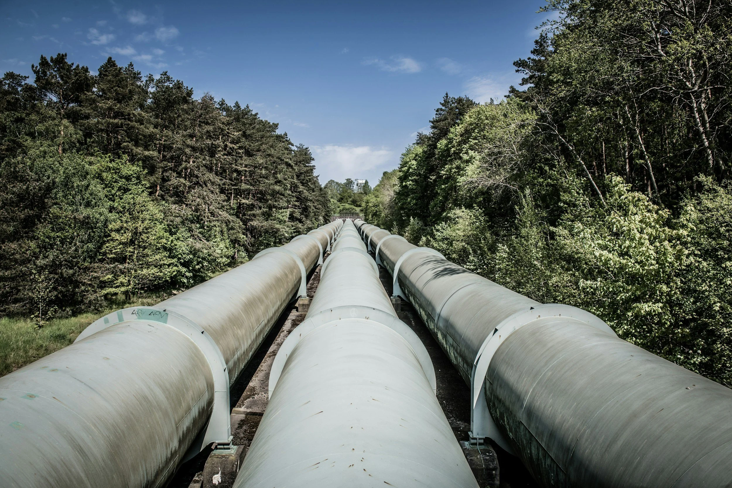
InSAR helps pipeline operators identify ground movement trends along and around long corridors, covering hundreds of miles consistently without field crews. It is an efficient way to prioritize geotechnical review where settlement, uplift or slope movement could affect the pipeline environment. Satellite measurements complement, rather than replace, direct assessment of pipe wall integrity, leak detection and pipe stress analysis.
Start with the corridor hazards
Pipelines cross slopes, floodplains, mining areas, reclaimed land and regions affected by subsidence. Each setting has different movement mechanisms and consequences. The monitoring scope should identify the ground changes of concern, the route of the asset and the conditions that could transfer ground deformation to the buried pipe. Without geotechnical interpretation, observed surface displacement is not enough to determine pipeline strain or failure risk. You can read more about the monitoring questions energy operators face on SkyGeo's InSAR for the energy industry page.
Measure the surroundings, not an invisible pipe
Radar targets may sit on roads, rock, structures or natural ground near the corridor. A buried pipe is not normally observed directly by satellite InSAR. The spatial relationship between measurements and the route must be explained, especially where there are few coherent targets or where a slope's direction of movement is poorly aligned with the satellite view. Any segments or periods where the surface cannot be monitored reliably should be reported.
Integrate with integrity management evidence
A useful interpretation combines displacement patterns with route alignment, topography, ground investigation, in-line inspection results, maintenance records and known geohazards. A new movement cluster may justify a field survey or an engineering assessment of local exposure. On its own, it does not prove a leak, coating damage or loss of structural capacity. Any action should be proportionate to the credible hazard and the quality of the satellite evidence. For operators in West Texas and New Mexico, you can read more about the Permian Basin InSAR subscription service.
Work across long, remote networks
A satellite layer makes inspection work more targeted across large networks, especially where regular physical access is difficult. The business case depends on whether it changes operational decisions, not on how many miles appear on the map. Providers should state acquisition and reporting schedules, historical coverage, data quality and how findings are assigned to asset owners or field crews.
How SkyGeo supports pipeline operators
SkyGeo provides InSAR data and expert analysis of ground deformation for oil and gas and utility networks. An effective program links observations to specific corridor risks and to the operator's integrity procedures, so satellite monitoring focuses ground inspection where it matters most.
Frequently asked questions
-
Not directly. Surface displacement can sometimes be relevant to an investigation, but leaks require dedicated detection and engineering methods.
-
Not necessarily with uniform quality. Ground cover, sensor geometry and archive availability can create gaps, and those gaps should be mapped.
-
Not directly. Translating surface deformation into pipe loading requires knowledge of burial depth, soil-pipe interaction and engineering conditions, with InSAR showing where that assessment is worth doing.
