
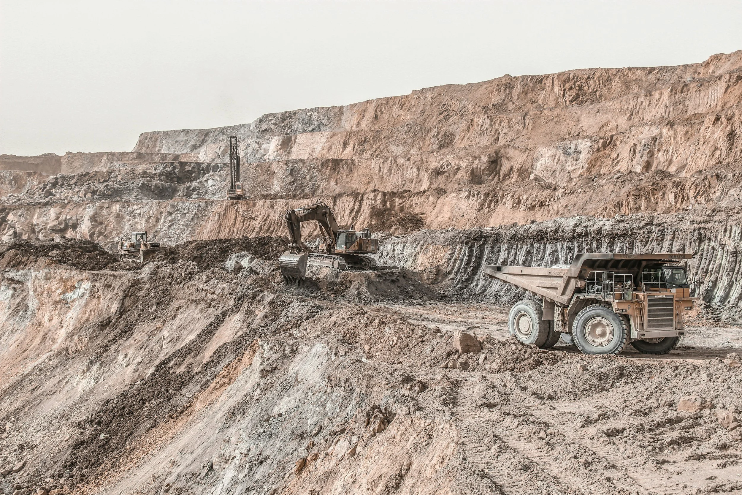
Satellite InSAR and ground-based interferometric radar use related physics but do different jobs. Satellite InSAR observes from orbit, covering large areas with a historical record. Ground-based radar is set up on site to watch a specific slope or structure with very short intervals between measurements. For slope monitoring, the best results usually come from using both.
What satellite InSAR does best
Satellite InSAR identifies long-term deformation patterns across a whole mine, its waste dumps and the surrounding region. It can also provide a baseline from before site instruments were installed. Its coverage depends on satellite overpasses, line-of-sight geometry and coherence, which a feasibility review maps out in advance.
In a mine monitoring program, satellite InSAR excels at broad screening, comparing trends between assets and directing field investigations to the right places.
What ground-based radar adds
A ground-based radar is positioned to view a particular slope and can repeat measurements every few minutes, depending on the equipment. That makes it essential where deformation rates can change quickly and need close operational attention. It also has practical considerations, such as line of sight, range, environmental effects and the need for a secure installation.
A radar unit watching one pit wall does not capture the history of every waste dump or distant asset. Satellite InSAR fills that gap, while ground-based radar provides the high-frequency coverage of critical walls.
Comparing them fairly
Pixel count, displacement precision and reporting frequency are separate properties. Ground-based radar delivers rapid local measurements, while a satellite archive reveals long regional trends. Because the two use different reference frames and geometries, their values need alignment before they are compared.
SkyGeo's FAQ describes satellite and ground monitoring as complementary. For high-consequence sites, the choice of equipment follows the geotechnical monitoring strategy. The Kansanshi mine case study shows satellite InSAR working alongside ground-based radar and other instruments.
Frequently asked questions
-
No. Both use interferometric radar principles, but their position, coverage, revisit intervals and operating conditions differ.
-
Where rapid local changes require very frequent measurements, ground-based radar remains the right tool. Satellite InSAR adds the wider and longer-term picture.
-
Yes, because their viewing geometry, location, reference and observation periods differ. SkyGeo's analysts reconcile the two so they tell a consistent story.
Combine the best of both
SkyGeo can show how satellite InSAR fits alongside your existing slope monitoring. Contact SkyGeo.
