
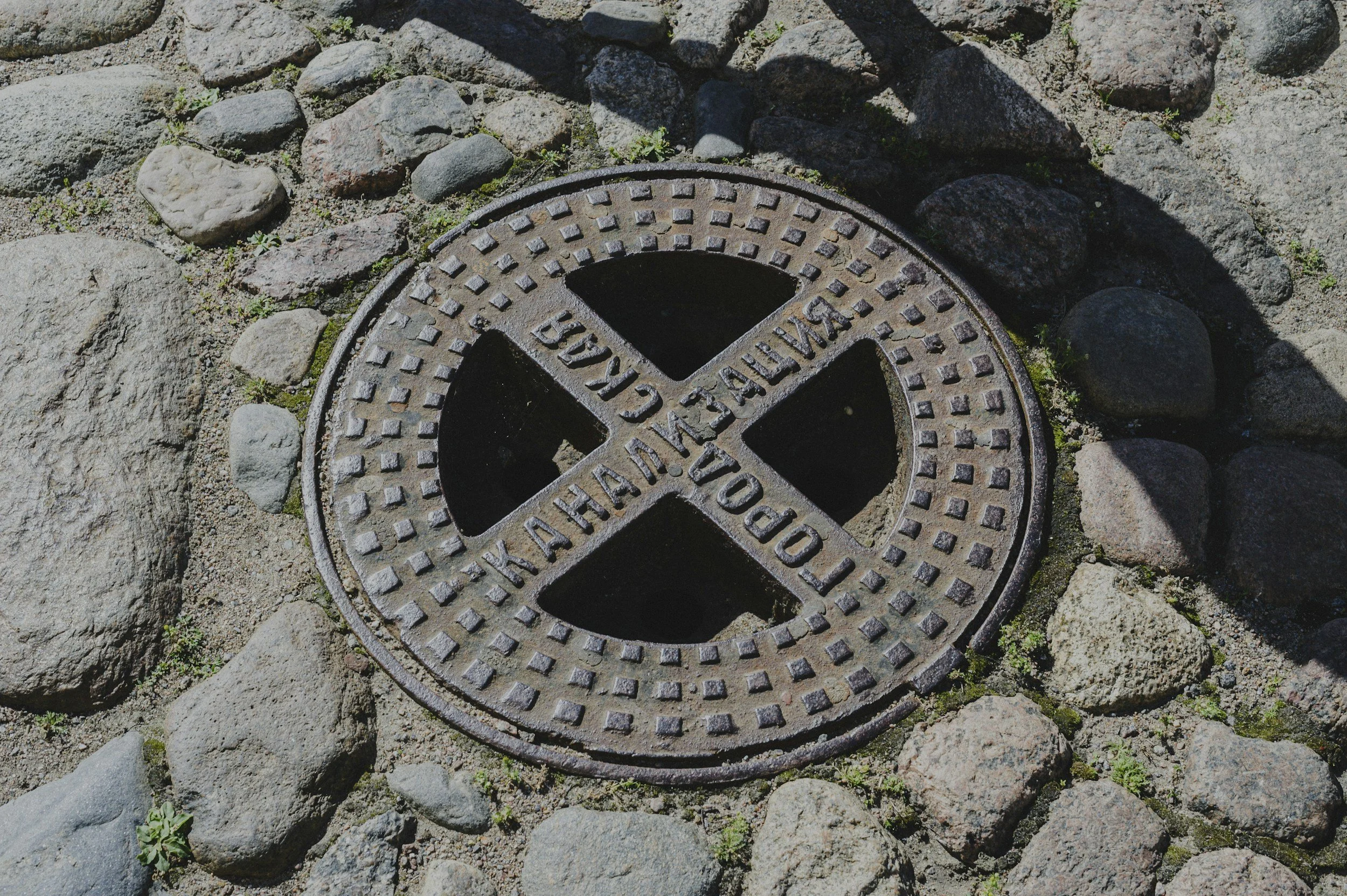
Gravity sewers depend on levels, gradients and sound connections. Ground settlement complicates rehabilitation planning, especially where aging networks cross soft, variable soils. InSAR maps changing ground levels across the city, so long-term trends can be compared with recurring blockages, infiltration, collapse repairs and pavement subsidence.
Visible road settlement can point to a sewer problem
Sewers are buried and hard to inspect comprehensively. Settlement at the surface may coincide with a defective pipe, groundwater change, poor backfill or unrelated soil consolidation. InSAR highlights neighborhood-scale and local surface movement that deserves comparison with sewer condition and repair records, which helps engineers decide where to send cameras first.
Combine movement data with drainage information
Overlay catchments, pipe ages, invert levels, inspection results, flooding complaints and repeated road repairs with reliable satellite time series. Link surface observations to specific sewer sections. Check whether settlement follows a broad geological pattern or is concentrated on one street, and study relative movement between neighboring zones.
Roadworks can change the radar targets, so analysts account for them. Prioritize locations where movement, asset vulnerability and incident evidence coincide, and verify suspected problems with CCTV, leveling and hydraulic assessment.
Choose the right investigation
The city may commission CCTV inspection, leveling, leakage tests or a ground investigation, depending on the asset and the pattern observed. Recording the outcome matters, because confirmed causes improve the next round of screening. Historical observations also help decide whether pipe renewal and road reinstatement should be coordinated. The benefit is focused engineering attention and fewer repeat surface repairs. The City of Diemen case study shows how long-term subsidence data supported road and sewer planning in one municipality.
Frequently asked questions
-
Ground settlement along sewer routes and manhole corridors, and how it has developed over time.
-
CCTV surveys, invert levels, blockage records and soil information.
-
No. It measures ground movement at the surface, which helps decide where internal inspections are needed.
-
During sewer rehabilitation planning and after relevant nearby ground works.
-
In a district where repeated sewer problems coincide with visible settlement.
