

InSAR, LiDAR or drones: how to choose the right monitoring method
InSAR, LiDAR and drone surveys answer different questions. Compare what each method measures and how to combine them in a practical monitoring workflow.
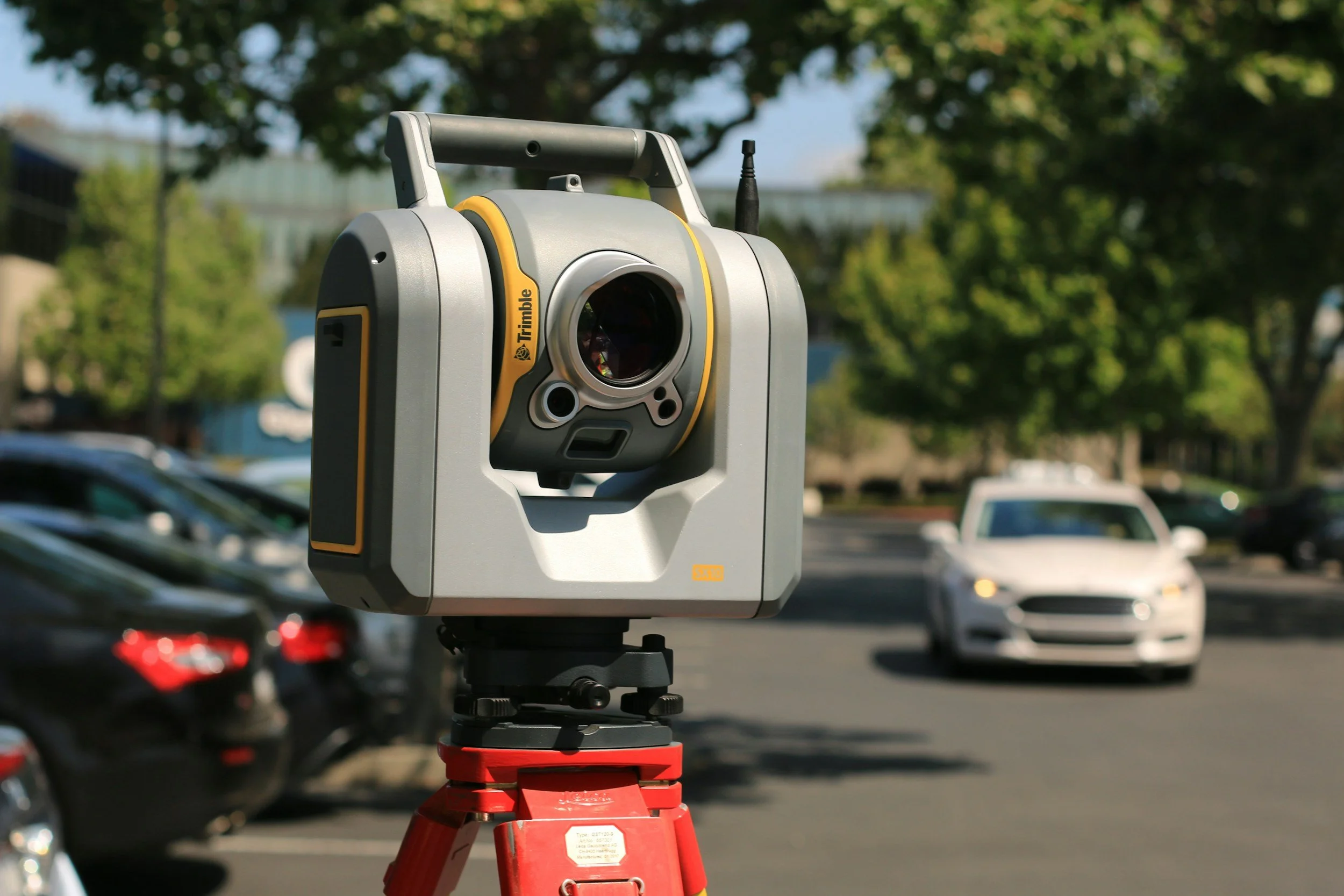
LiDAR vs NISAR: comparing a survey method with a radar mission
LiDAR uses laser pulses to map surfaces in 3D. NISAR is a NASA-ISRO radar satellite whose data supports InSAR. Learn how they differ and work together.