
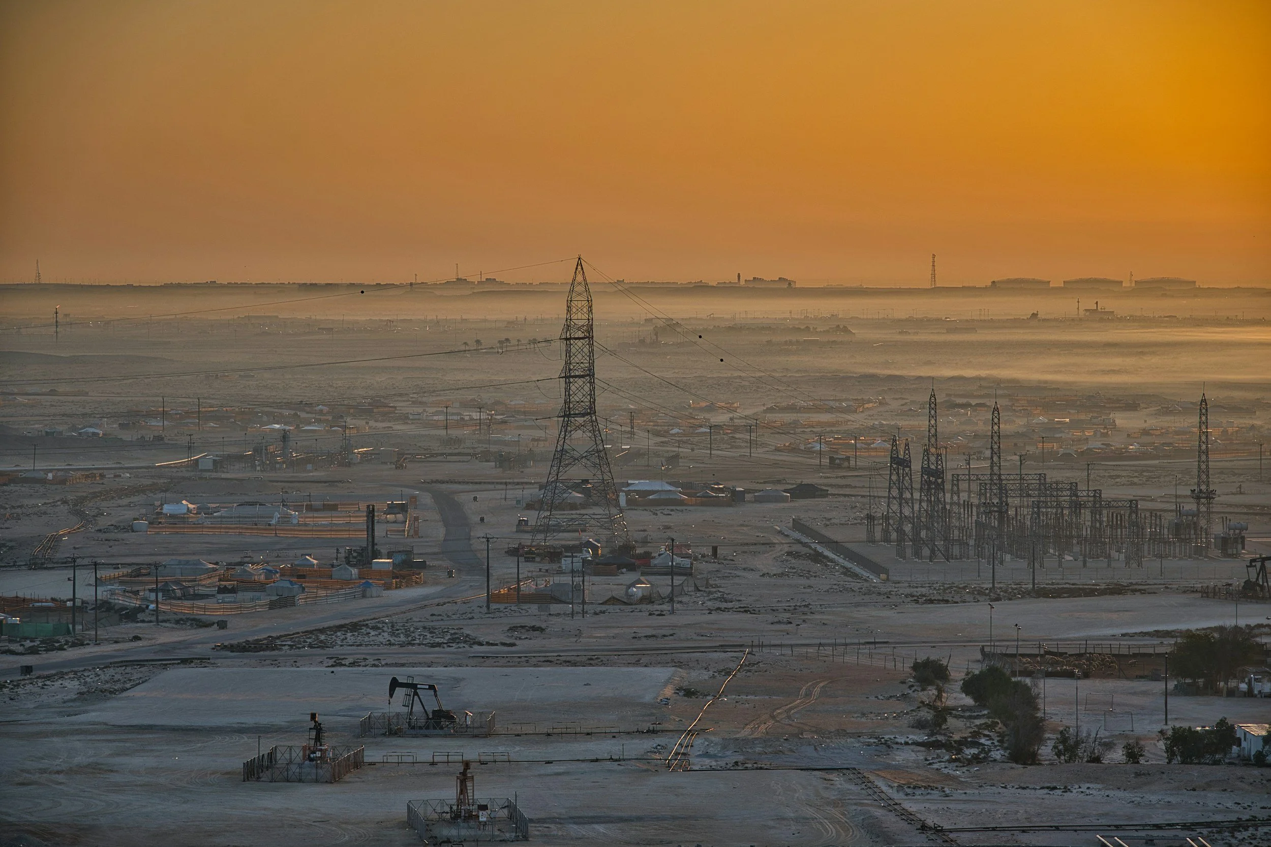
Oil and gas operations can cause, or coincide with, surface uplift and subsidence. InSAR maps that movement across entire fields, disposal areas and pipeline corridors, often far beyond the reach of ground measurements. It gives operators a consistent, wide-area view of how the surface is responding over months and years.
Where InSAR fits in an energy monitoring program
An InSAR history shows whether surface deformation is local or widespread, whether a pattern appeared before or after a change in operations and how it develops over time. That helps teams decide where to look more closely at pressure data, injection history, production records or field surveys. The USGS describes InSAR's use in mapping deformation linked to fluid extraction and other processes.
For pipeline corridors, InSAR identifies ground movement hazards along the route, which operators combine with route geometry, pipe condition, geotechnical data and inspections in their integrity management.
Interpreting what the surface shows
Surface uplift after injection deserves review, and InSAR shows exactly where and when it happened. Because different geological or hydrological mechanisms can produce similar patterns, a good assessment compares the movement with geology, operational data and ground observations to identify the most likely explanation.
SkyGeo's InSAR for the energy industry page explains the sector applications, and the Permian Basin InSAR subscription service provides regional monitoring for one of the world's most active basins.
Using the results to ask better questions
A practical report identifies the observed area, the displacement reference, the trend, data confidence, the acquisition period and whether the signal lines up in space and time with operational changes. Where concern is high, operators follow up with targeted geological analysis or local monitoring. InSAR helps prioritize that work, alongside well integrity testing, seismic monitoring and regulatory requirements.
Frequently asked questions
-
Not on its own. Injection may be one likely mechanism, and confirming it uses geological and operational evidence alongside the InSAR data.
-
Yes. It measures ground movement along and around pipeline corridors. Pipeline integrity itself is assessed with other asset-specific evidence.
-
Yes. It is one of the most efficient ways to see deformation patterns across large areas and prioritize investigation.
See your field from above
SkyGeo can map ground movement across your fields and infrastructure. Contact SkyGeo.
