
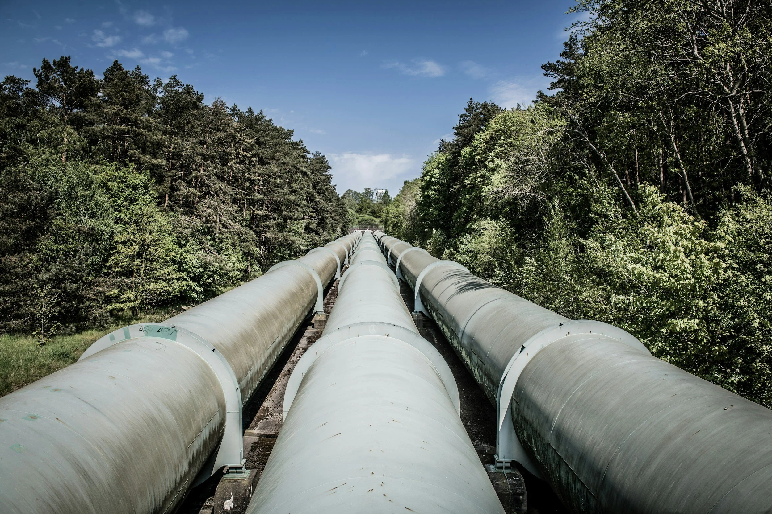
Pipeline corridors and ground deformation: using InSAR for network screening
How pipeline operators use InSAR to screen long corridors for settlement, uplift and slope movement, and how it fits into integrity management.
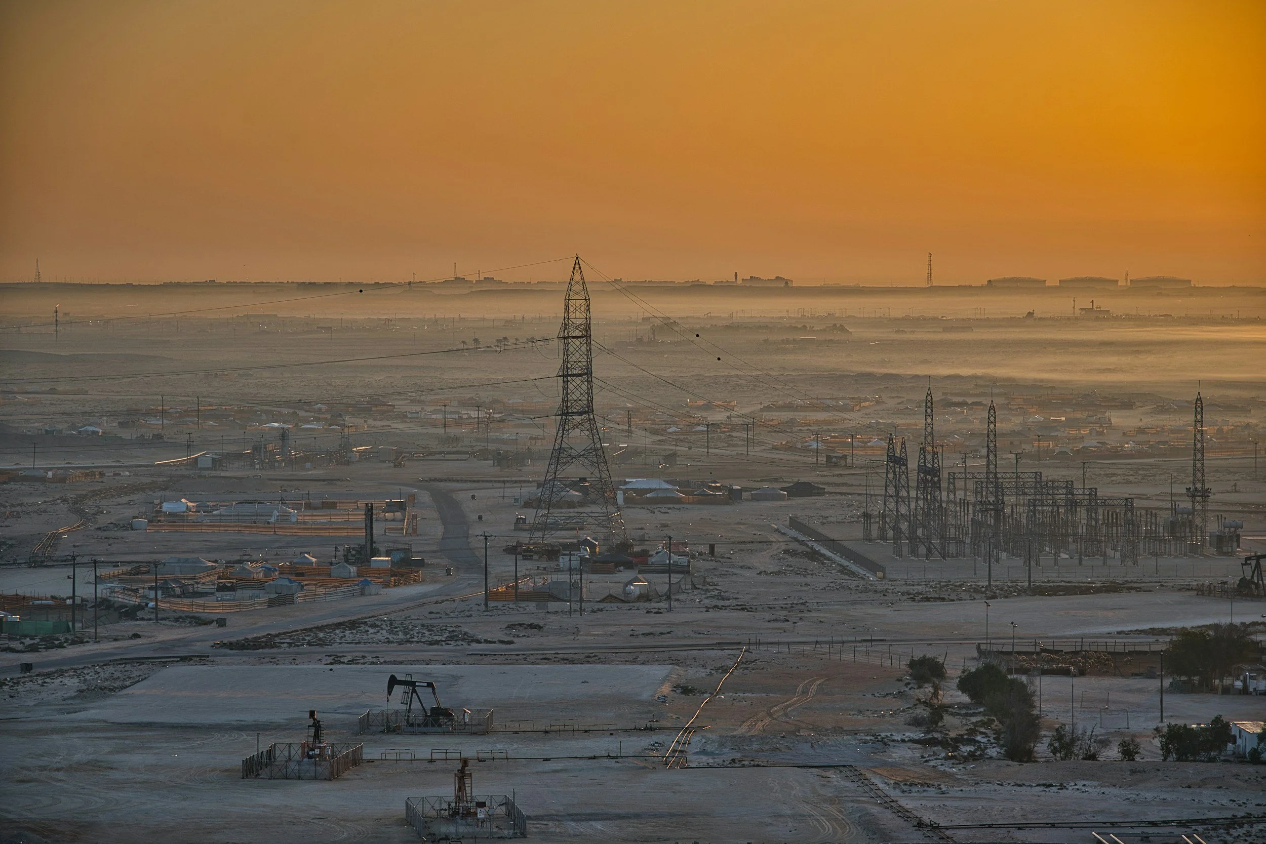
How InSAR complements oil and gas field monitoring
Satellite InSAR maps uplift and subsidence across oil and gas fields, disposal areas and pipeline corridors, complementing reservoir and well monitoring.