
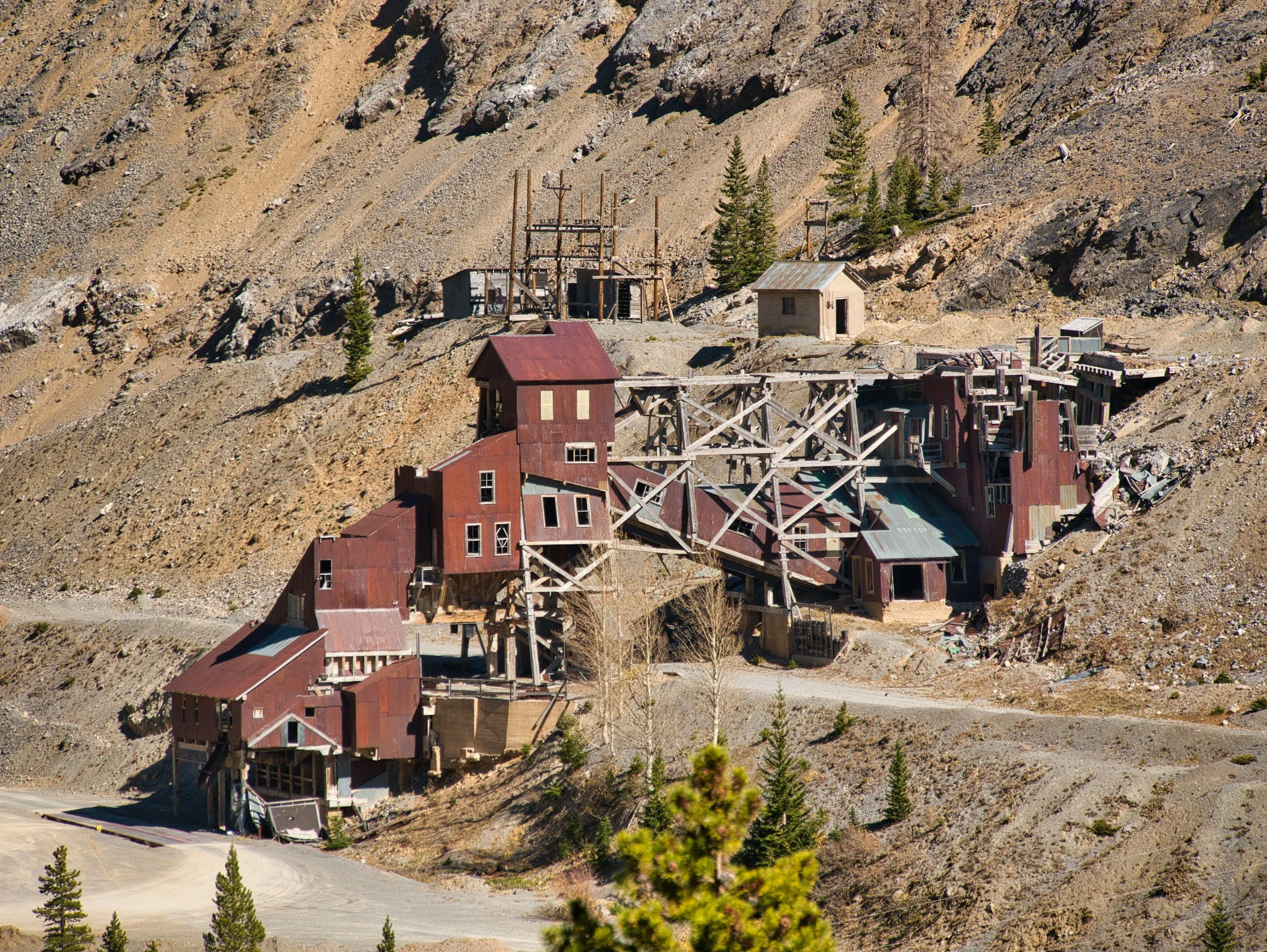
Can satellite InSAR help screen abandoned and legacy mine sites?
How InSAR helps screen abandoned and legacy mining areas for persistent subsidence, and why it must be combined with mine records and ground investigation.
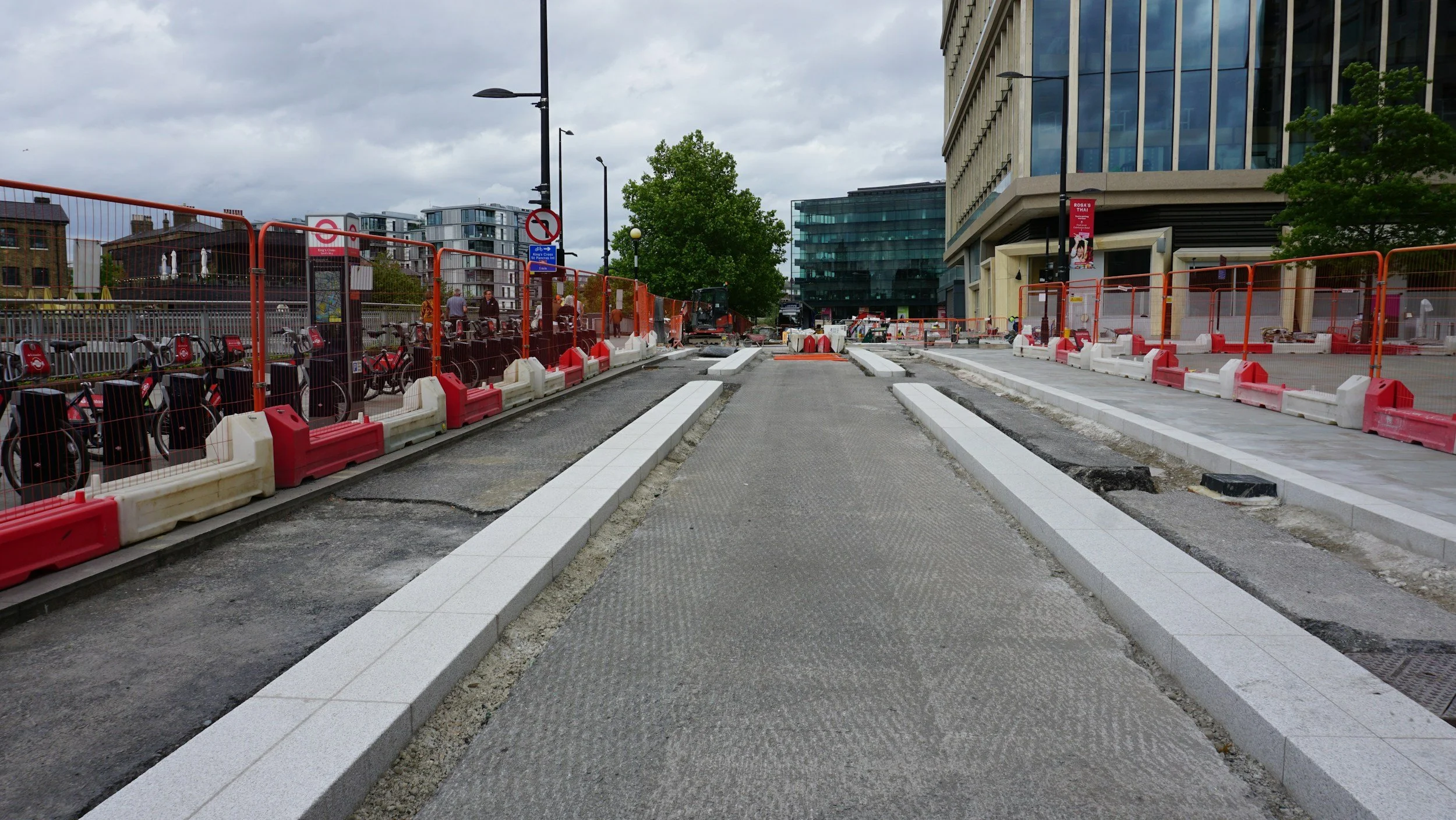
From subsidence maps to municipal maintenance budgets: a practical workflow
How municipalities combine InSAR subsidence maps with road and sewer records and asset risk to plan maintenance, with lessons from the Diemen case.

What is InSAR? A practical introduction to satellite ground movement monitoring
InSAR uses repeated radar satellite observations to measure how the ground moves over time. Learn what it measures, where it helps and where it has limits.