
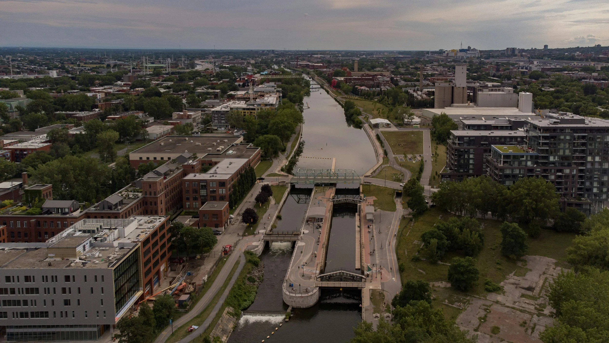
Cities can use satellite InSAR to map relative subsidence and uplift across entire neighborhoods and infrastructure networks, often with years of historical context. Its greatest value is in revealing spatial trends that support planning and asset management. Interpreting the risk to an individual building or the cause of movement needs specialist analysis and additional evidence, not a single point on a map.
Why urban ground movement is complex
Settlement can be influenced by soil type, groundwater changes, historic land reclamation, construction, loading and other local processes. Streets close together can show very different histories. An urban deformation map is therefore a starting point for targeted questions, not a definitive damage map. Interpreting movement requires an understanding of local ground conditions and of the age and sensitivity of the assets affected. You can read how one municipality used this in its planning in the City of Diemen case study.
City-wide screening vs property assessment
Buildings and infrastructure often provide good radar targets, which makes built-up areas well suited to time series monitoring. However, the exact position of a radar measurement can be uncertain, and reflections may come from features other than the assumed building. The technique is strongest for spatial patterns and groups of targets. Claims about a single property's foundation or condition need further measurement and engineering evidence.
Link movement to city datasets
A municipality can compare radar trends with asset inventories, maintenance records, groundwater observations, soil maps and records of past works. That helps identify districts where additional surveys or planning studies may be worthwhile. The integration should keep measurement uncertainty and reference assumptions intact, rather than turning a movement rate directly into a probability of damage. A seasonal pattern may call for a different response than a sustained new trend. You can read more about InSAR for civil engineering and infrastructure on SkyGeo's website.
Identify the right decisions
Typical uses include prioritizing condition surveys, refining maintenance areas and informing long-range renewal planning. The value depends on whether movement evidence changes the order or scope of a real decision. The City of Diemen case study is a published example of building ground movement information into asset planning.
Explain limitations before releasing maps publicly
Public maps can be misread by residents and property owners. Provide a plain-language explanation of what is measured, the reference period, where data is missing and why movement on its own does not establish damage. Point users toward expert review rather than offering unsupported building-level classifications.
Frequently asked questions
-
Not necessarily. The point may not correspond exactly to that building, and displacement alone does not establish structural condition. Ask for a local, expert interpretation.
-
Coverage can be extensive, but it depends on radar geometry, surface coherence and the availability of suitable data.
-
Not always. Ground conditions, construction, loading and other processes can also contribute, and the cause needs separate investigation.
