
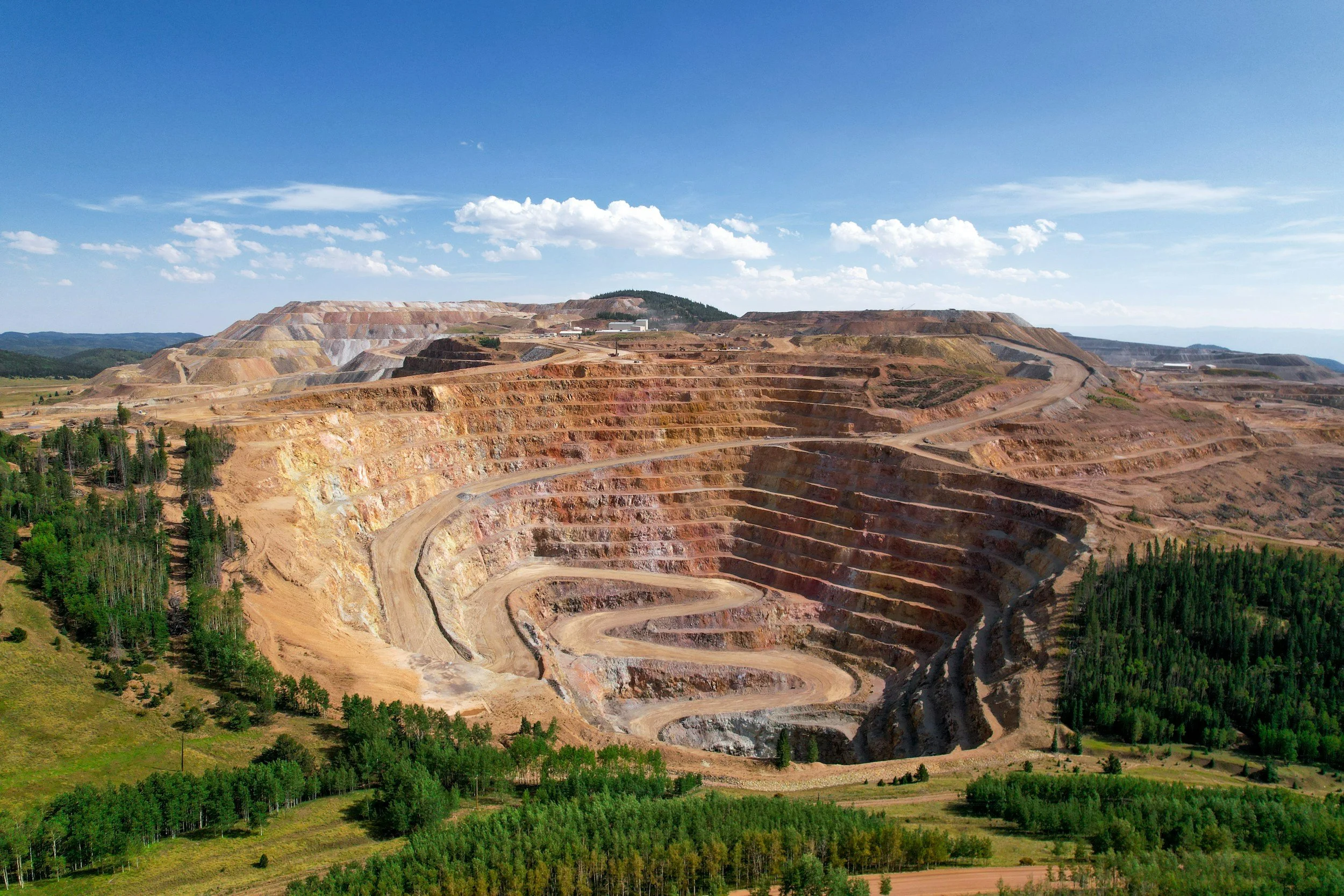
Satellite InSAR is a powerful tool for mines. It can reveal movement across open pits, waste dumps, tailings facilities and surrounding ground, including areas no ground-based instrument covers, and help geotechnical teams target inspections where they matter most. But a colored deformation map is not a slope stability assessment. When raw InSAR data is interpreted without specialist expertise, misreading viewing geometry, data gaps or changes in surface conditions can lead to unnecessary intervention or, worse, to false confidence in an area that has not been measured reliably.
Mistake 1: treating line-of-sight movement as slope displacement
An InSAR observation represents the component of surface displacement along the satellite's line of sight. An unstable slope may be moving at an angle to that viewing direction, so a small recorded change does not necessarily mean the slope moved only a small distance. Nor should a positive or negative color value automatically be described as upward or downward motion.
Mine geometry makes this especially important. Opposite pit walls, benches and waste dump faces are viewed differently. Radar shadow and layover can limit observations, and a single orbit may be insensitive to some directions of movement. A geotechnical interpretation therefore starts with the expected displacement direction, the satellite viewing geometry and the locations of reliable measurement points.
Mistake 2: reading an absence of points as an absence of movement
Excavation, blasting, material placement, vegetation, steep terrain and rapidly changing surfaces can all reduce coherence. A monitoring map can look reassuringly quiet simply because a section has very few trustworthy observations. No signal is not evidence of stability if the surface has become unobservable.
A mining review should show measurement coverage and quality alongside the size of the deformation. InSAR analysts should document where the technique is not suitable, including faces that need ground-based radar, prisms, extensometers, piezometers or direct inspection.
Mistake 3: mistaking an operational change for a geotechnical trend
A change in a satellite time series may coincide with a production phase, drainage work, rainfall, pumping or placement of new material. That coincidence is useful context, not proof of a single cause. Atmospheric artifacts, an unstable reference area or a sudden change in the target itself can also produce misleading patterns.
The right question is not simply whether a point moved. It is whether nearby points show a consistent spatial pattern, whether the time history survives quality checks, how it compares with independent instruments and whether the movement fits a credible mechanism. You can read more about the monitoring questions InSAR helps mines answer on SkyGeo's InSAR for mining page.
Mistake 4: turning a trend into a failure prediction
A persistent acceleration may justify urgent investigation under the mine's geotechnical management framework, but no single satellite measurement predicts when a slope or tailings embankment will fail. Some failure processes may not produce an interpretable satellite signal in time to act, and satellite revisit frequency, processing time and expert review all affect how quickly results are available.
A monitoring program should define actions for unusual movement, with InSAR integrated into the mine's trigger action response plan rather than replacing it. The Kansanshi mine case study shows what this looks like in practice, with InSAR supporting a site-specific engineering response that reduced slope displacement.
Mistake 5: confusing surface motion with tailings facility stability
Surface deformation is one important part of a much bigger picture. Tailings performance depends on material behavior, construction, pore pressure, drainage, loading history and internal conditions that satellite radar does not measure directly. A stable surface time series cannot on its own establish that a facility is safe, and measured movement alone cannot diagnose its cause or consequence.
For high-consequence facilities, InSAR analysts should report what was measured, what was not, the measurement confidence, relevant operational context and any follow-up required by the accountable engineer. The goal is defensible investigation and escalation, not an automated stability verdict. You can read more about using InSAR in tailings storage facility risk management.
What a mine should ask its InSAR analysts to deliver
Request a coverage and quality map, clear line-of-sight conventions, time series plots for important zones, a statement on reference stability, a description of likely artifacts and a comparison with the mine's own observations. The report should separate measured displacement from interpretation and from recommended action, and identify which anomalies need closer study, the right local instruments and the person accountable for deciding what happens next.
InSAR delivers the most value when it is combined with the instruments a mine already uses. SkyGeo integrates its InSAR data with ground-based radar, total stations, inclinometers, extensometers, LiDAR and GNSS, so satellite measurements add wide-area coverage and historical context to the site's existing monitoring.
Frequently asked questions
-
Not on its own. InSAR provides valuable evidence of surface movement across the mine where conditions allow, but judging stability also requires geotechnical assessment, other instruments and consideration of failure mechanisms that satellite radar may not see.
-
Steep geometry, rapid movement, shadow, layover and surface disturbance can reduce measurement quality or remove the radar targets needed for a trustworthy time series. This coverage limitation must be reported clearly.
-
It may justify urgent review. The right action depends on the site's agreed trigger action response plan, measurement confidence, monitoring delay, other observations and the consequences of failure. InSAR is most effective as one expert-interpreted input to that decision, alongside the mine's site instruments.
