
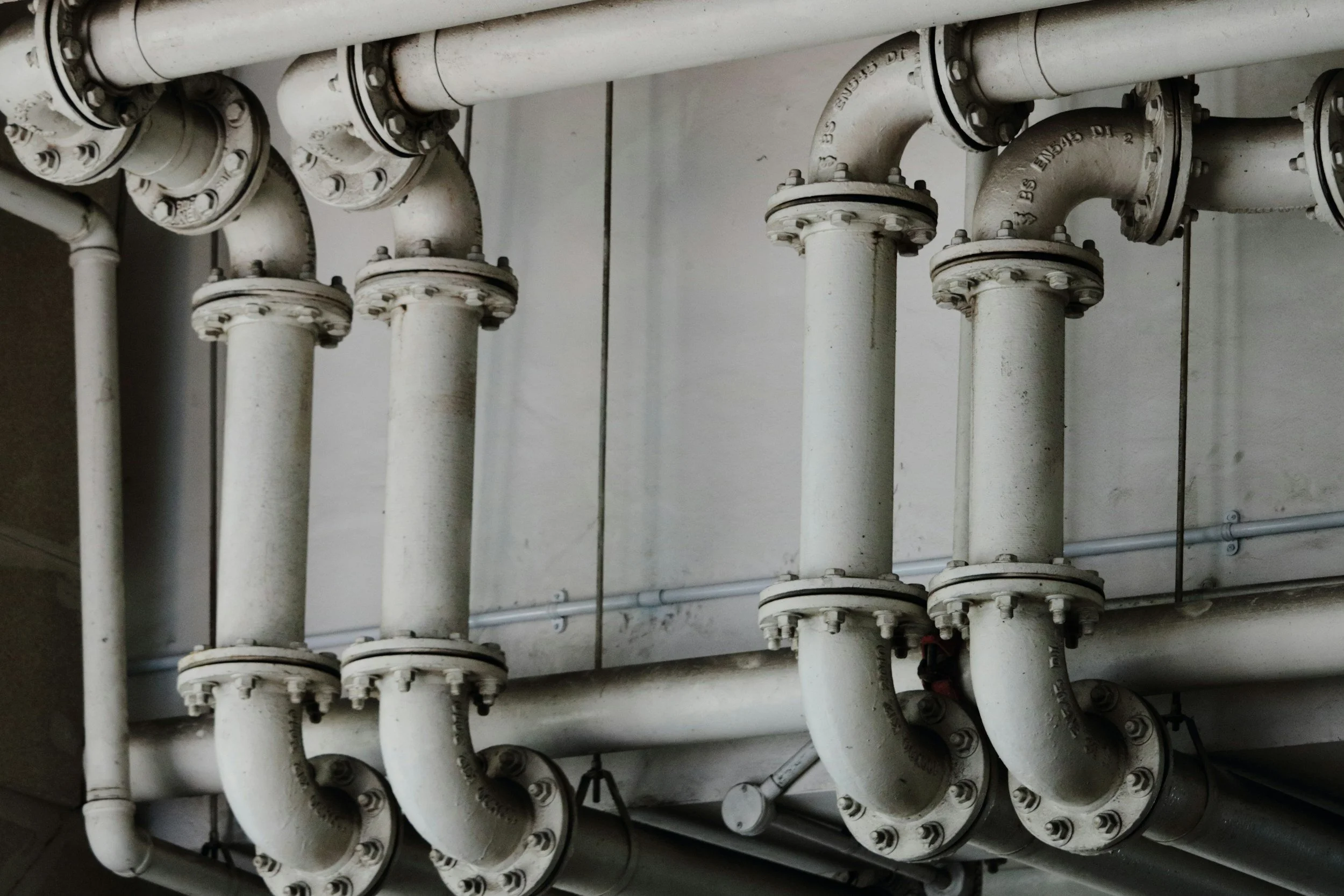
Misinterpreting InSAR at carbon storage sites: surface movement is not proof of containment
Why InSAR results at carbon storage sites are easy to misread, why no signal is not proof of containment, and how InSAR fits into MMV.

How infrastructure owners can misinterpret InSAR settlement data
Common mistakes infrastructure owners make with InSAR settlement data, from point location to comparing datasets, and what decision-ready monitoring looks like.
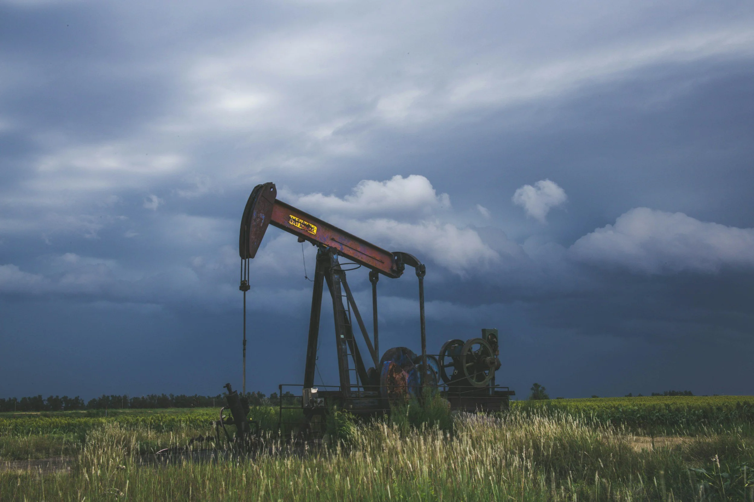
Why InSAR uplift and subsidence maps can mislead oil and gas operators
An uplift map is not an image of underground pressure. Common pitfalls when oil and gas operators interpret InSAR uplift and subsidence data.
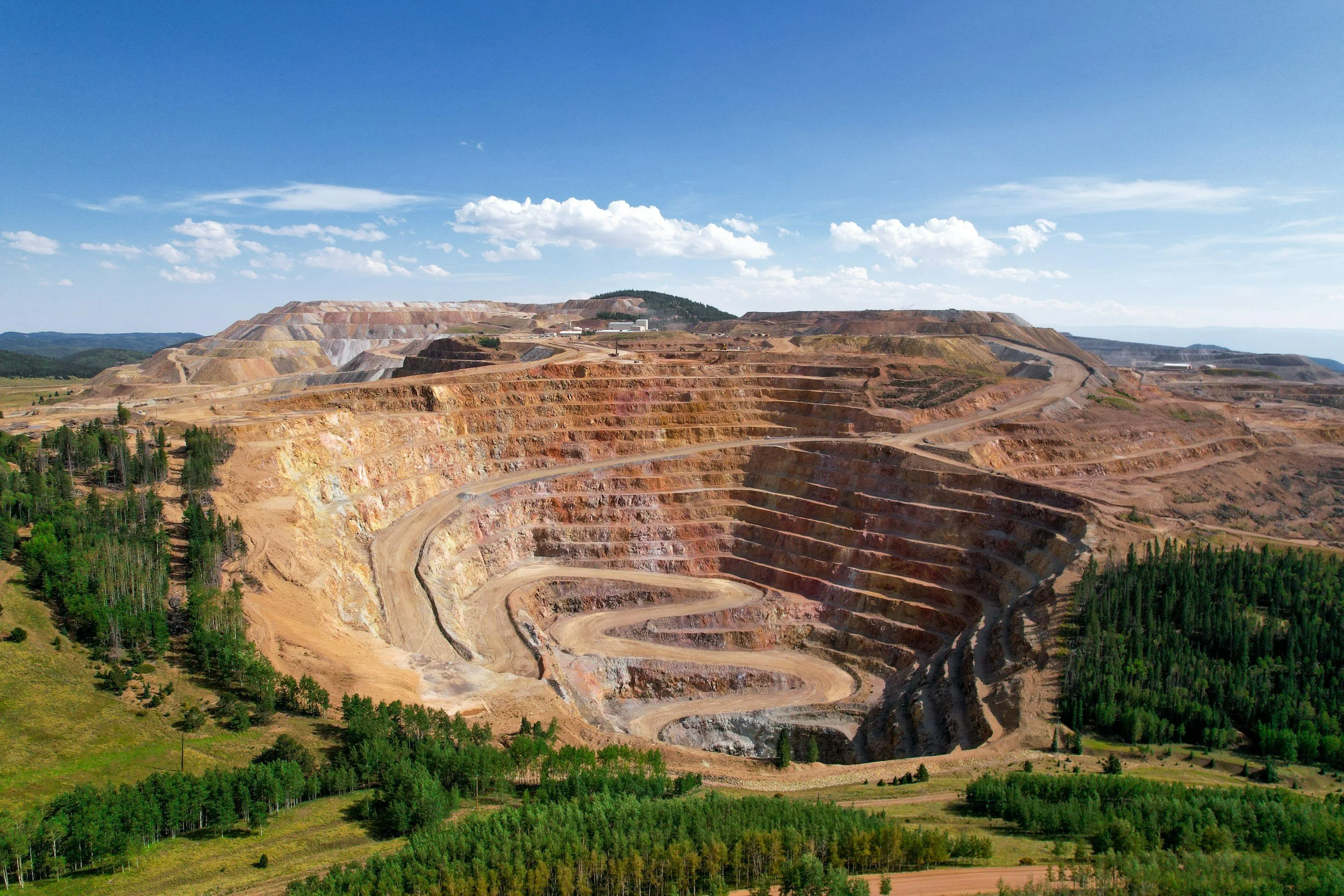
Why InSAR data is easy to misinterpret at mines
Five common mistakes when reading InSAR data at mines, from line-of-sight geometry and data gaps to failure prediction, and what to ask your analyst.