
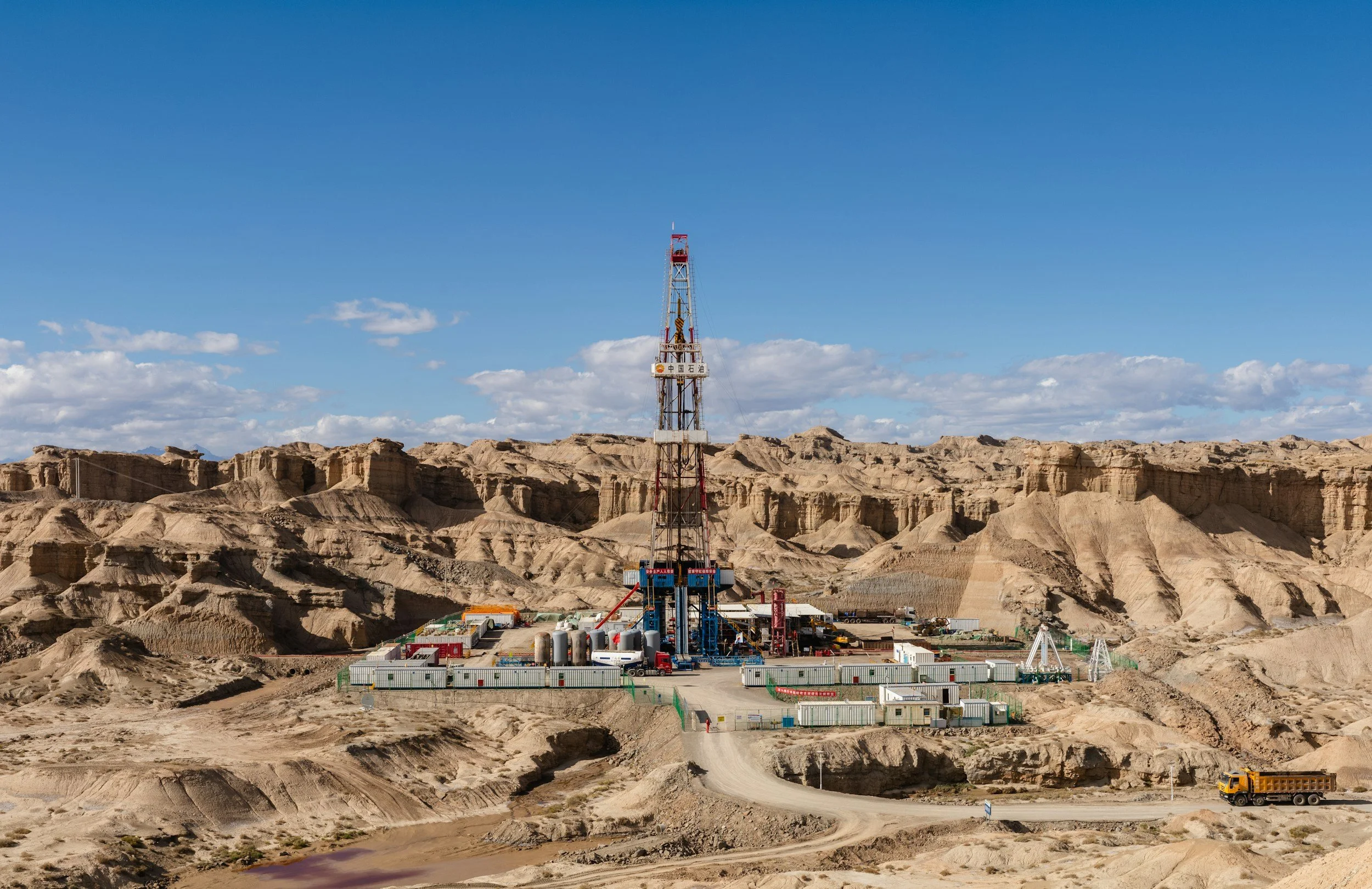
Production and injection take place across fields that can cover hundreds of square miles. Local instruments rarely give a complete picture of how the surface responds to changing conditions underground. Repeat-pass InSAR fills that gap, mapping subsidence and uplift across the entire field and revealing patterns worth comparing with reservoir activity.
Separate field-wide trends from local anomalies
Oil and gas assets cover large areas where subsidence or uplift can come from more than one process. A regional trend may overlap extraction, injection, groundwater change or natural conditions. InSAR shows clearly where measurable surface displacement occurs and how it evolves. Identifying the subsurface cause is the next step, using operational and geological information. The first task is to decide which observations deserve that comparison.
Build an operational timeline
Start with a baseline from available historical imagery. Then match surface movement histories with well locations, injection and production records, pressure data where available, seismicity and documented operational changes. Examine the footprint of movement and whether trends extend beyond individual wells.
Note any measurement gaps and the satellite viewing direction, especially when interpreting vertical and horizontal components. Focus on coherent changes rather than individual pixels. A change in surface displacement can suggest a useful hypothesis, which reservoir modeling and other subsurface evidence then test.
Turn the analysis into a repeatable review
A good report separates newly changing areas, long-standing trends and places where confidence is lower. Asset integrity, reservoir and geoscience specialists can all work from the same mapped evidence, each interpreting it against their own responsibilities. Follow-up might involve surveying, a pressure review or an inspection of nearby infrastructure. Keeping a documented history of each observation and response builds real value over time. Learn more about InSAR for the energy industry.
Frequently asked questions
-
Field-scale subsidence and uplift, and how those patterns change over time.
-
Injection and production histories, pressures, geology and seismicity records.
-
Not on its own. Similar surface patterns can have several causes, so subsurface interpretation uses InSAR together with reservoir data.
-
To match available satellite acquisitions and the pace of operational decisions.
-
Define the field boundary and assemble the operational timeline, then review the historical movement record.
