

C-band InSAR: the practical strengths of the most widely used radar band
C-band InSAR, including Sentinel-1, offers systematic coverage and a long archive for tracking ground movement. Learn where it performs best.

X-band InSAR: where short-wavelength radar delivers the most value
X-band InSAR delivers detailed movement data over buildings, industrial sites and exposed rock. Learn where it performs best and how to choose it well.
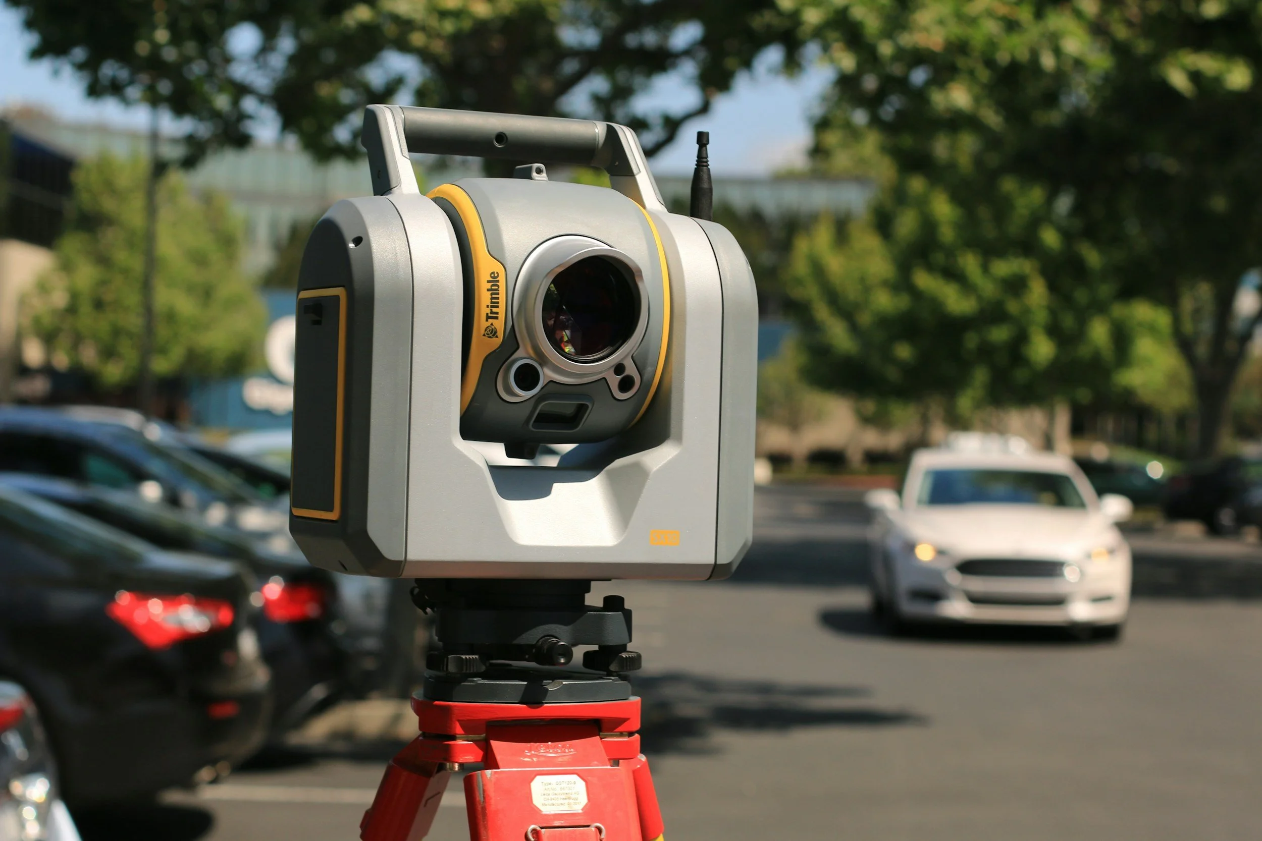
LiDAR vs NISAR: comparing a survey method with a radar mission
LiDAR uses laser pulses to map surfaces in 3D. NISAR is a NASA-ISRO radar satellite whose data supports InSAR. Learn how they differ and work together.
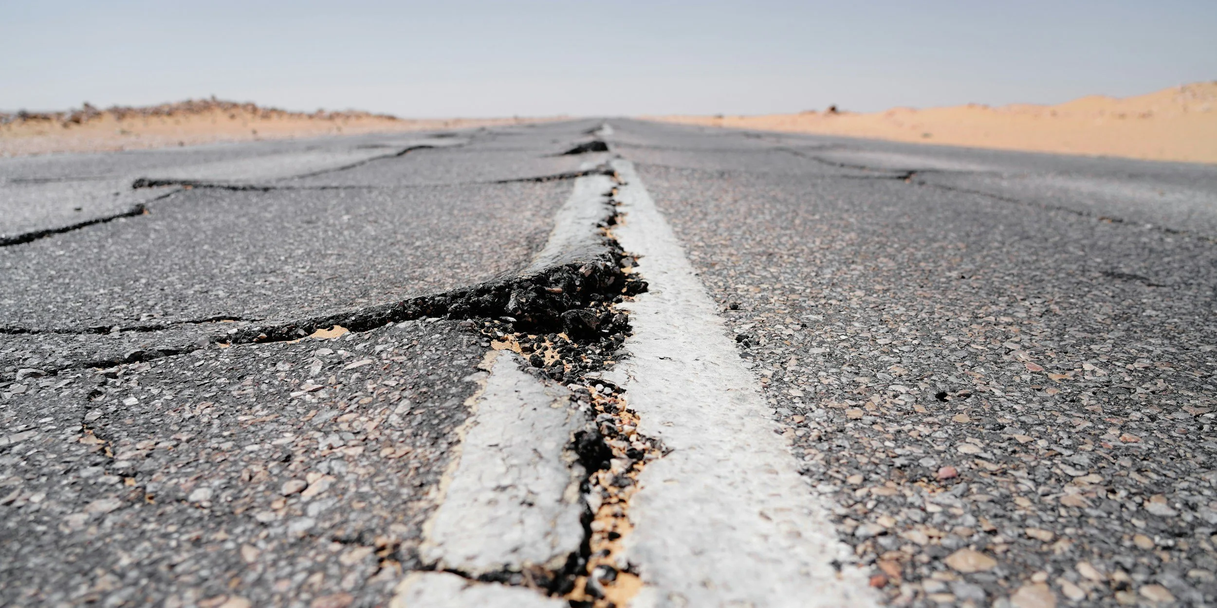
InSAR in disaster management: preparation, response and recovery
How InSAR supports disaster preparation, response and recovery by mapping ground deformation from earthquakes, landslides and other hazards.
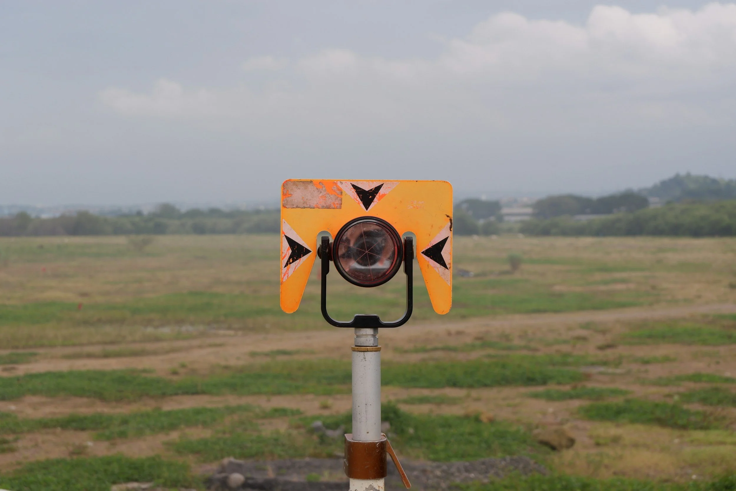
Corner reflectors for InSAR: when an artificial radar target helps
Corner reflectors give InSAR a strong, stable radar target where natural reflectors are scarce. Learn how they work and when they improve monitoring.
How far back can InSAR analysis go? Understanding historical SAR archives
Satellite radar archives reach back to the early 1990s in many places. Learn how historical InSAR reveals past ground movement and how to scope a study.

Ascending and descending orbits: why viewing direction matters for InSAR
Ascending and descending SAR passes view the ground from different sides. Learn how combining them improves InSAR interpretation of ground movement.

Can satellite InSAR show movement in three dimensions?
InSAR measures movement along the satellite's line of sight. Learn how combining viewing geometries and other data builds a fuller picture of 3D motion.

What is persistent scatterer interferometry (PSI)?
Persistent scatterer interferometry (PSI) tracks stable radar targets across many satellite images to measure slow ground movement with high precision.

Can InSAR help prevent asset failures? A practical guide to risk reduction
InSAR helps organizations spot ground movement early and prioritize investigation. Learn how to turn satellite movement data into real risk reduction.
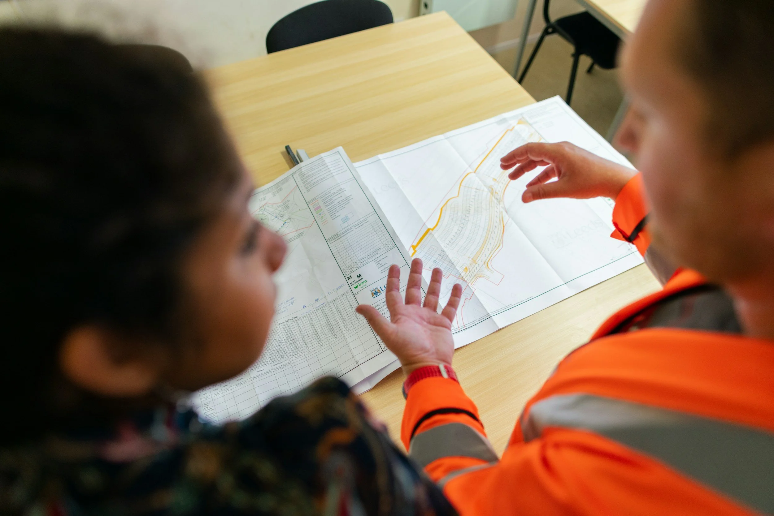
Why engineers and asset managers should understand InSAR
InSAR gives engineers and asset managers spatial and historical movement evidence for design, maintenance and investigation decisions. Here is how to use it.